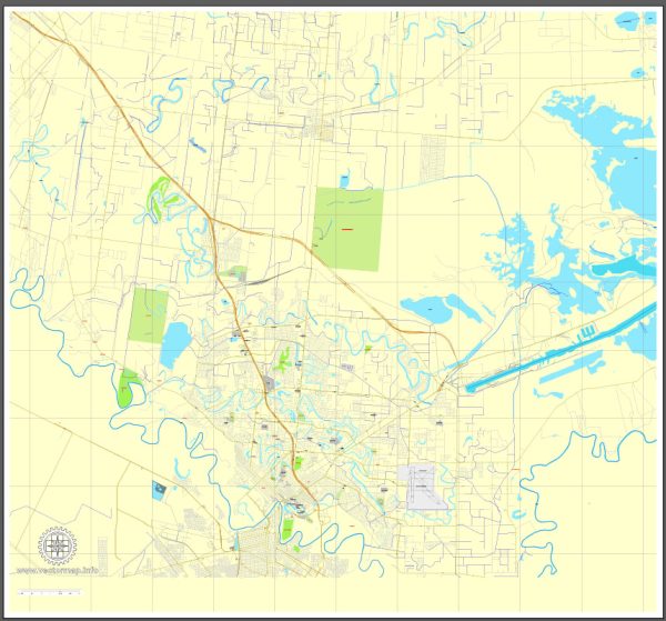
Brownsville, Texas, is a city located in the southernmost part of Texas, near the United States-Mexico border. It plays a significant role in the economic landscape of the region. Here is an overview of the economic description of Brownsville:
- Trade and Border Economy: Brownsville’s economy is heavily influenced by its location along the U.S.-Mexico border. The city has a thriving trade and commerce sector due to its proximity to Matamoros, Mexico. The two cities form a binational metropolitan area and have numerous maquiladoras (manufacturing plants) that produce goods for export, contributing to cross-border trade.
- Manufacturing: Manufacturing is a key driver of the economy in Brownsville. Maquiladoras and manufacturing plants produce a wide range of products, including electronics, automotive parts, medical devices, and more. The city’s affordable labor and strategic location make it an attractive destination for manufacturers.
- Port of Brownsville: The Port of Brownsville is one of the largest deepwater ports on the U.S. Gulf Coast. It handles various types of cargo, including steel, petroleum products, and bulk goods. The port’s activity significantly contributes to the local economy, providing jobs and supporting trade.
- Education and Healthcare: The presence of educational institutions like the University of Texas Rio Grande Valley (UTRGV) and Texas Southmost College plays a role in the local economy. The healthcare sector, anchored by hospitals and medical facilities, also provides employment and services to the community.
- Agriculture: Agriculture, particularly the cultivation of fruits and vegetables, is an important component of the regional economy. The fertile Rio Grande Valley is known for producing citrus fruits, sugarcane, and winter vegetables.
- Tourism: Brownsville’s location near the Gulf of Mexico and its subtropical climate make it a destination for tourists, especially during the winter months. The city has historical sites, cultural attractions, and natural beauty that contribute to its tourism sector.
- Logistics and Transportation: Brownsville’s strategic location for trade with Mexico and access to major highways, such as Interstate 69E, make it an ideal hub for logistics and transportation companies.
- Government and Military: Brownsville has government and military facilities, including Coast Guard operations and the U.S. Customs and Border Protection, which provide jobs and support various economic activities.


 Author: Kirill Shrayber, Ph.D. FRGS