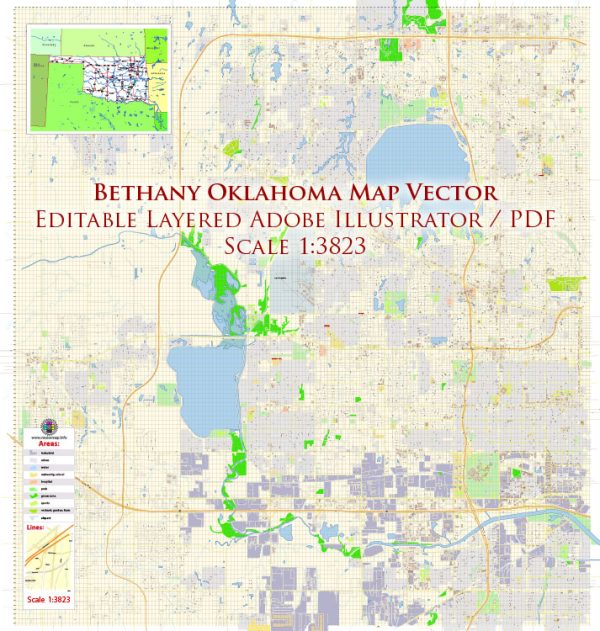
Bethany, Oklahoma, is a city located in the United States, in the state of Oklahoma. The city has a rich history that reflects the broader history of Oklahoma and the United States. Here is a brief description of Bethany’s history in the context of U.S. history:
- Native American Presence: Before European settlement, the area that would become Bethany was inhabited by various Native American tribes, including the Choctaw and Chickasaw nations. The region had a long history of indigenous culture and trade.
- Early European Settlement: Like many parts of Oklahoma, Bethany was settled by European Americans during the late 19th century as part of the westward expansion. The area attracted pioneers and settlers looking for opportunities in agriculture and land ownership.
- Founding of Bethany: Bethany’s history as a city begins with the founding of a community called “Bethany Orphanage” by the United Brethren in Christ Church in 1906. The goal was to establish an orphanage and educational institution.
- Education: Bethany has strong historical ties to education. The Bethany Training School for ministers was established, later evolving into Southern Nazarene University, which remains a significant institution in the area.
- Growth and Development: Over the years, Bethany grew as a residential and educational community, becoming a suburb of the larger Oklahoma City metropolitan area. The city’s population and infrastructure expanded as it became a desirable place to live for those who worked in Oklahoma City.
- Civic and Cultural Life: Bethany has a vibrant civic and cultural life. It hosts various community events and cultural activities that celebrate the city’s history and diversity.
- Contemporary Significance: Today, Bethany, Oklahoma, is a part of the Oklahoma City metropolitan area and retains a unique character as a close-knit community with a strong educational and religious presence. The city continues to evolve, embracing its historical roots while adapting to the modern era.
Bethany’s history reflects the broader story of westward expansion, the role of religious institutions in shaping communities, and the ongoing development of towns and cities in the United States.


 Author: Kirill Shrayber, Ph.D. FRGS