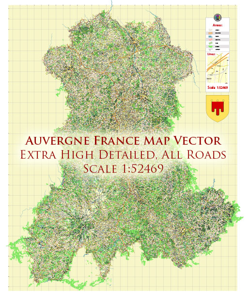
The Auvergne region in France is known for its picturesque landscapes, including volcanoes, mountains, and beautiful countryside. The highway system in Auvergne, like the rest of France, is well-developed and maintained, making it easy for travelers to explore the region and reach their desired destinations. Here’s an overview of the major highways and road networks in the Auvergne region:
- A71: The A71 is a major north-south highway that runs through Auvergne. It connects the city of Orléans to Clermont-Ferrand, the regional capital. The A71 is an essential route for those traveling to and within Auvergne.
- A75: The A75, also known as La Méridienne, is a significant north-south route that traverses the region from north to south, connecting Clermont-Ferrand to Béziers in the south. This highway is particularly scenic as it passes through the Massif Central and offers beautiful views of the surrounding landscape, including volcanoes.
- A89: The A89 is an east-west highway that crosses the Auvergne region. It connects Bordeaux in the west to Lyon in the east. The A89 allows for easy access to cities like Clermont-Ferrand and provides a convenient link to the A71.
- N roads: In addition to the major autoroutes (highways), there are numerous national roads (N roads) that provide access to different parts of Auvergne. These roads are generally well-maintained and offer an alternative to the autoroutes for getting around the region.
- Local roads: Auvergne is known for its charming villages and rural landscapes. While the highways and national roads can get you to the major cities and tourist destinations, you’ll often need to use local roads to explore the more remote and scenic areas of the region.
When traveling through Auvergne, it’s essential to keep in mind the varying weather conditions, especially in the winter when the region can experience heavy snowfall, which may affect road conditions. Additionally, consider the presence of tolls on some of the autoroutes.
It’s always a good idea to use GPS navigation or consult road maps to plan your routes and stay updated on traffic conditions if you’re traveling through Auvergne or any other region in France.


 Author: Kirill Shrayber, Ph.D. FRGS