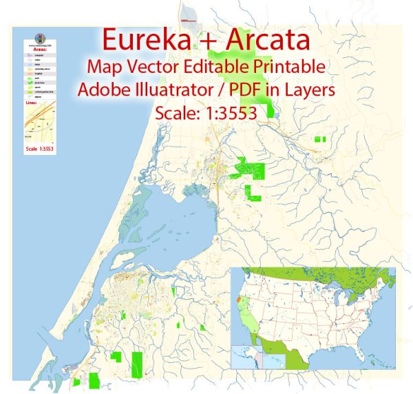
Arcata and Eureka are two neighboring cities located in Humboldt County on the northern coast of California, United States. They both have rich histories that are closely tied to the broader historical development of the region and the state of California. Here’s a brief description of their historical backgrounds:
Arcata: Arcata is a small coastal city with a history deeply rooted in the indigenous peoples of the area, particularly the Wiyot tribe, who have inhabited the region for thousands of years. European settlers arrived in the mid-19th century during the California Gold Rush, leading to the establishment of Arcata as a logging and agricultural center.
One of the defining moments in Arcata’s history is the 1860 Wiyot Massacre, in which a group of settlers attacked the Wiyot people in a brutal and tragic event. This dark chapter in the city’s history continues to be acknowledged and remembered today, with efforts made to promote reconciliation with the Wiyot Tribe.
Arcata also became a center of the lumber industry during the late 19th and early 20th centuries, with redwood logging being a major economic driver in the region. Over time, as environmental awareness grew, there were shifts in the local economy and culture, leading to a focus on sustainability and a more diversified economy.
Today, Arcata is known for its vibrant arts and culture scene, as well as its proximity to Humboldt State University. The city is also recognized for its commitment to environmental conservation and progressive policies.
Eureka: Eureka is the largest city in Humboldt County and serves as the county seat. Like Arcata, Eureka’s history is closely connected to the Gold Rush era. It was originally settled by European-American colonizers drawn to the region in search of gold. The city’s name, “Eureka,” was inspired by the Greek word meaning “I have found it,” signifying the discovery of gold in the area.
Eureka quickly became a major commercial center, with a deep-water port and thriving lumber industry. The redwood forests in the surrounding areas were heavily exploited during the late 19th and early 20th centuries, leading to economic growth and development.
Eureka also played a pivotal role in the development of the fishing industry on the North Coast of California, particularly during the late 19th and early 20th centuries.
Today, Eureka is known for its historic Old Town, which features well-preserved Victorian architecture and is a hub for cultural events, shopping, and dining. It is also home to government institutions, including the Humboldt County Courthouse. The city has a diverse economy, with industries such as healthcare, education, tourism, and small-scale manufacturing contributing to its stability.
Both Arcata and Eureka, along with the rest of Humboldt County, have unique histories shaped by the interaction of indigenous cultures, the natural environment, and the economic opportunities presented by the Gold Rush and the timber industry. These cities have evolved to become centers of education, culture, and commerce while continuing to honor their historical roots.


 Author: Kirill Shrayber, Ph.D. FRGS