Geography
According to the United States Census Bureau, the city has a total area of 23.0 square miles (60 km2),
of which, 10.6 square miles (27 km2) of it is land and 12.3 square miles (32 km2) (53.79%) is water.
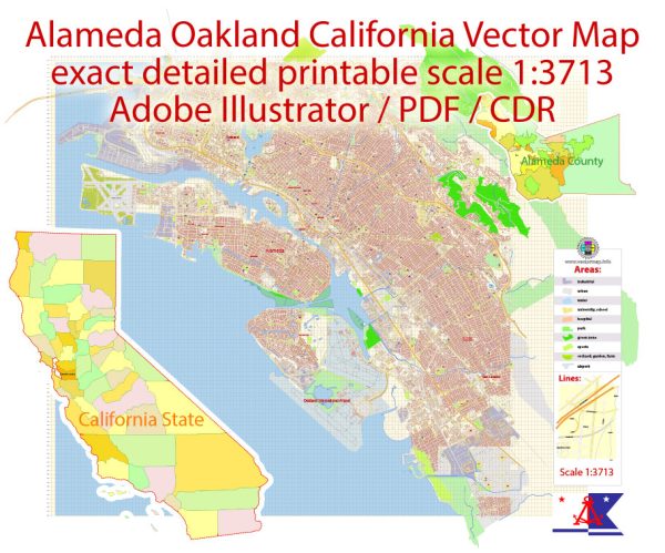
Although Alameda’s nickname is “The Island City” (or simply “the island”), the current city occupies
two islands as well as a small section of the mainland. Today, the city consists of the main original
section, with the former Naval Air Station Alameda (NAS Alameda) at the west end of Alameda Island,
Southshore along the southern side of Alameda Island, and Bay Farm Island, which is part of the mainland proper.
The area of the former NAS is now known as “Alameda Point.” The Southshore area is separated from the
main part of Alameda Island by a lagoon; the north shore of the lagoon is located approximately where
the original south shore of the island was. Alameda Point and Southshore are built on bay fill.
Not all of Alameda Island is part of the City of Alameda. Although nearly all of the island is in
Alameda city limits, a small portion of a dump site west of the former runways at Alameda Point
extends far enough into San Francisco Bay that it is over the county line and part of the City
and County of San Francisco.
Coast Guard Island, a small island between Alameda Island and Oakland, is also part of Alameda
and is the home of Integrated Support Command Alameda
Source: https://familypedia.fandom.com/wiki/Alameda,_California#Geography


 Author: Kirill Shrayber, Ph.D.