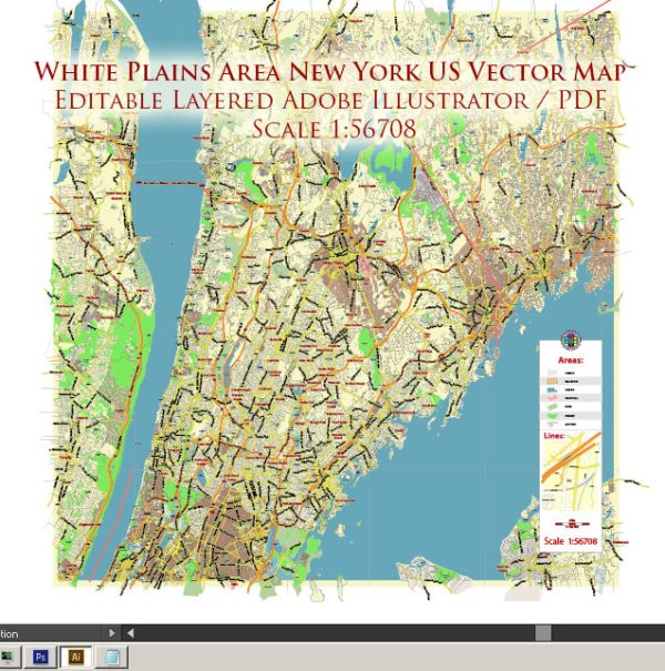
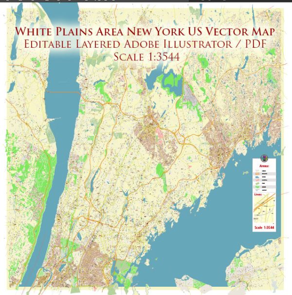
White Plains is a city located in Westchester County, New York, United States. It is a suburb of New York City and is situated in the southeastern part of the state. Here are some key facts about White Plains, New York:
- Location: White Plains is approximately 25 miles (40 kilometers) north of Manhattan, making it part of the New York metropolitan area. It is well-connected to New York City by various transportation options, including commuter rail and highways.
- County Seat: White Plains serves as the county seat of Westchester County, which means it is the administrative center of the county.
- Population: As of my knowledge cutoff date in September 2021, White Plains had a population of around 58,000 people. Please note that population figures may have changed since then.
- Economy: White Plains is known for its bustling business district and serves as a major corporate and retail hub in Westchester County. Many businesses, law firms, and financial institutions have offices in the city.
- Shopping and Entertainment: The city offers various shopping opportunities, including The Westchester, a large upscale shopping mall. There are also restaurants, theaters, and cultural attractions in the area.
- Transportation: White Plains is well-connected by public transportation, including the Metro-North Railroad, which provides commuter rail service to and from New York City. Additionally, major highways like I-87 and I-287 pass through or near the city.
- Education: White Plains is home to several public and private schools, and it is served by the White Plains Public Schools system. The city is also in proximity to several institutions of higher education.
- History: White Plains has historical significance, as it played a role in the American Revolutionary War. The Battle of White Plains took place in the area in 1776.


 Author: Kirill Shrayber, Ph.D. FRGS