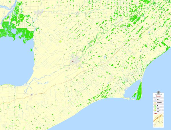
Wallaceburg is a community located in Chatham-Kent, Ontario, Canada. Chatham-Kent is a large municipality in southwestern Ontario, and Wallaceburg is one of its constituent communities. Here’s some information about both Wallaceburg and Chatham-Kent:
Wallaceburg:
- Location: Wallaceburg is situated in the southwestern part of Ontario, near the border with the United States. It is located along the Sydenham River and has access to Lake St. Clair.
- Economy: Historically, Wallaceburg’s economy has been tied to manufacturing, particularly the automotive and industrial sectors. The town is known for its industrial heritage, including a long history of boat building and the production of automotive parts. Agriculture also plays a significant role in the local economy.
- Attractions: Wallaceburg and its surrounding area offer several outdoor recreational opportunities, including boating and fishing on the Sydenham River and Lake St. Clair. The Sydenham River Marsh area is known for its natural beauty and wildlife.
Chatham-Kent:
- Geography: Chatham-Kent is a unique municipality in Ontario, as it covers a large area that includes both urban centers like Chatham and smaller communities like Wallaceburg. It is known for its agricultural landscapes, including fertile farmland.
- Economy: The economy of Chatham-Kent is diverse, with a focus on agriculture, manufacturing, and services. Agriculture, particularly the cultivation of crops like corn, soybeans, and wheat, is a major industry. Manufacturing includes automotive and related industries.
- Attractions: Chatham-Kent offers a range of attractions and activities. The region is known for its natural beauty, with parks, conservation areas, and waterways. Cultural attractions include museums and historical sites, such as the Chatham-Kent Museum and the Buxton National Historic Site & Museum, which focuses on the history of the Underground Railroad.
Chatham-Kent and Wallaceburg are areas with a rich history and a mix of industrial and agricultural traditions, making them unique places in southwestern Ontario. They offer a mix of urban and rural living and have much to offer in terms of natural beauty and cultural heritage.


 Author: Kirill Shrayber, Ph.D.