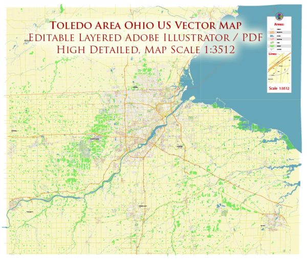
Toledo, Ohio, is a city located in the United States. It is the county seat of Lucas County and is situated in the northwestern part of the state of Ohio. Toledo is known for its industrial heritage, proximity to Lake Erie, and its role as a major transportation and trade hub due to its location along the Maumee River and its connection to the Great Lakes and the Saint Lawrence Seaway.
Here are some key points about Toledo, Ohio:
- Industry: Toledo has a history of being an industrial city, particularly in the glass and automotive industries. The city was once known as the “Glass City” due to its significant glass production. It is also home to several automobile manufacturing facilities and suppliers.
- Culture: Toledo has a vibrant cultural scene, including museums, theaters, and a strong connection to the arts. The Toledo Museum of Art is renowned for its collection, and the city hosts various cultural events and festivals throughout the year.
- Education: Toledo is home to several institutions of higher education, including the University of Toledo and Bowling Green State University.
- Sports: The city has sports teams, including the Toledo Mud Hens, a Triple-A minor league baseball team affiliated with the Detroit Tigers, and the Toledo Walleye, a minor league ice hockey team.
- Transportation: Toledo’s strategic location along the Maumee River and its proximity to Lake Erie have made it an important transportation and shipping hub. The city has a significant railway presence and is well-connected by road and interstate highways.
- Attractions: Toledo offers various attractions, such as the Toledo Zoo, Imagination Station science center, and the historic Old West End neighborhood known for its well-preserved Victorian homes.


 Author: Kirill Shrayber, Ph.D. FRGS