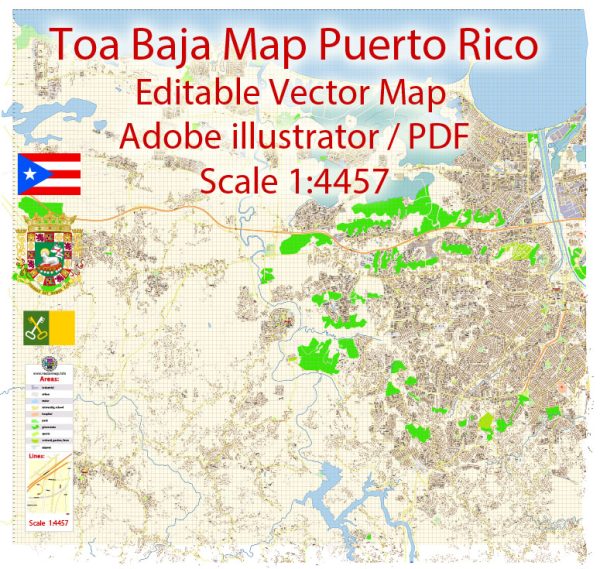
Toa Baja is a municipality located in the northern part of Puerto Rico. It is situated in the northern coastal region of the island, facing the Atlantic Ocean. Here is some general information about Toa Baja:
- Location: Toa Baja is located on the northern coast of Puerto Rico, adjacent to the San Juan Metropolitan Area. It is situated to the west of San Juan, the capital city of Puerto Rico.
- History: Toa Baja has a rich history, dating back to the early days of Spanish colonization. It was officially founded in 1745, and its name is believed to come from the Taíno word “Tuhabaha,” which means “near the water.”
- Geography: The municipality is characterized by a mix of urban and rural areas. It has a diverse landscape that includes coastal regions, wetlands, and urban neighborhoods.
- Economy: Toa Baja’s economy is diverse, with agriculture, manufacturing, and services playing important roles. The municipality has been known for its agricultural products, such as plantains, yams, and bananas.
- Landmarks: Toa Baja is home to several notable landmarks and cultural sites, including historic churches, plazas, and the Luis Muñoz Marín Birthplace Museum. The town is also known for its traditional festivals and celebrations.
- Education: Toa Baja has several public and private schools, as well as access to higher education institutions in nearby municipalities.
- Population: The population of Toa Baja can vary over time, but it is typically in the tens of thousands. The municipality is part of the larger San Juan metropolitan area, which is the most densely populated region of Puerto Rico.
- Transportation: Toa Baja is accessible by road, and it is connected to the San Juan metropolitan area via major highways. The Luis Muñoz Marín International Airport in San Juan provides the closest major airport access.
- Culture: Like many parts of Puerto Rico, Toa Baja has a rich cultural heritage influenced by a blend of Spanish, Taíno, and African traditions. Music, dance, and local cuisine are an integral part of the cultural scene.
- Recreational Activities: The municipality offers opportunities for outdoor activities, including water sports, hiking, and exploring the coastal areas and natural beauty of the region.


 Author: Kirill Shrayber, Ph.D. FRGS