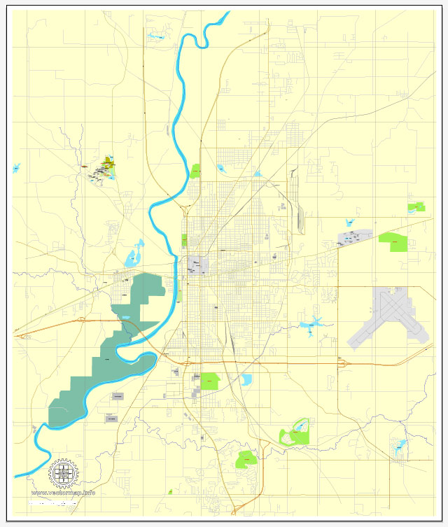
Terre Haute is a city located in the state of Indiana, United States. It is the county seat of Vigo County and is situated in the western part of Indiana. Here are some key facts about Terre Haute:
- Location: Terre Haute is in the west-central part of Indiana, near the border with Illinois. It’s approximately 77 miles (124 kilometers) west of Indianapolis, the state capital.
- Population: As of my last knowledge update in September 2021, the population of Terre Haute was around 60,000 people. Keep in mind that population figures can change over time.
- Education: Terre Haute is home to Indiana State University, a public university known for its education and business programs. Additionally, Rose-Hulman Institute of Technology, a prestigious engineering and science-focused institution, is located nearby.
- History: Terre Haute has a rich history, and it was an important center for transportation and commerce in the 19th century due to its location along the Wabash River. The city’s history is also associated with notable events like the creation of the Coca-Cola bottle and its role in the early automotive industry.
- Culture and Events: Terre Haute hosts various cultural events, including the Clabber Girl Country Christmas, the Terre Haute Air Show, and the Blues at the Crossroads Blues Festival. The city also has several museums, parks, and recreational opportunities.
- Correctional Facilities: Terre Haute is known for housing several federal correctional facilities, including the United States Penitentiary, Terre Haute. This penitentiary has been in the news for housing high-profile inmates.
- Economy: Historically, Terre Haute’s economy has been tied to manufacturing, education, and healthcare. Major employers in the area include Indiana State University, Union Hospital, and various manufacturing companies.


 Author: Kirill Shrayber, Ph.D. FRGS