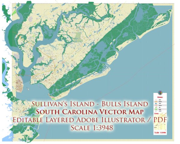
Sullivan’s Island, Dewees Island, Palm Island, and Bulls Island are all barrier islands located along the coast of South Carolina, United States.
- Sullivan’s Island: Sullivan’s Island is situated at the entrance to Charleston Harbor and is known for its beautiful beaches and historic significance. It is home to Fort Moultrie, a well-preserved fort that played a role in various conflicts in American history.
- Dewees Island: Dewees Island is a privately owned barrier island located to the northeast of Sullivan’s Island. It is known for its natural beauty and eco-friendly community. The island is only accessible by boat and is a sanctuary for wildlife and a popular destination for nature enthusiasts.
- Palm Island: I do not have information about a specific island called “Palm Island” in South Carolina. It’s possible that this is a smaller, less-known island, or it may have a different name. South Carolina has many barrier islands, and some of them are relatively small and less developed.
- Bulls Island: Bulls Island is part of the Cape Romain National Wildlife Refuge and is located to the north of Isle of Palms and Sullivan’s Island. It is a remote and largely undeveloped island with a rich natural environment, including maritime forests, tidal creeks, and a diverse range of wildlife.


 Author: Kirill Shrayber, Ph.D. FRGS