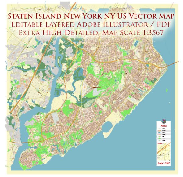
Staten Island is one of the five boroughs of New York City, New York, United States. It is located in the southwest part of the city and is the least populated of the five boroughs. Staten Island is known for its suburban and more laid-back atmosphere compared to the other boroughs.
Key points about Staten Island, New York City, NY, US:
- Geography: Staten Island is located in the New York Harbor and is separated from New Jersey by the Arthur Kill and from the rest of New York City by the Kill Van Kull. It is the only borough not connected to the New York City subway system.
- Population: As of my knowledge cutoff date in September 2021, Staten Island had a population of around 495,747 people. Please note that population figures can change over time.
- Attractions: Staten Island is home to several attractions, including the Staten Island Ferry, which offers stunning views of the Statue of Liberty and the Manhattan skyline. The Staten Island Zoo, Snug Harbor Cultural Center, and the Staten Island Museum are popular cultural and recreational destinations on the island.
- Parks and Natural Areas: Staten Island offers a range of parks and natural areas, including the Staten Island Greenbelt, Clove Lakes Park, and the Staten Island Botanical Garden. The Greenbelt provides opportunities for hiking and outdoor activities.
- Transportation: While Staten Island is not connected to the New York City subway system, it is accessible by several bridges, including the Verrazzano-Narrows Bridge, Goethals Bridge, and Outerbridge Crossing. The Staten Island Railway and numerous bus routes provide public transportation on the island.
- Government: Staten Island is governed as part of New York City and has a Borough President who represents the interests of the borough in city government. It is also represented in the New York City Council.


 Author: Kirill Shrayber, Ph.D. FRGS