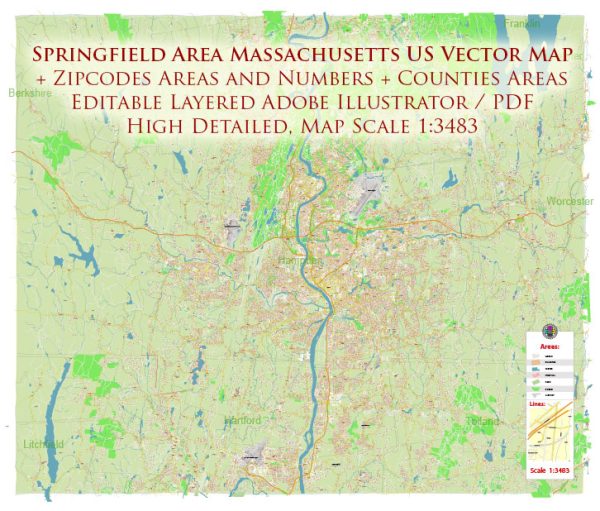
Springfield, Massachusetts is a city located in the United States. Here are some key facts and information about Springfield:
- Location: Springfield is located in Western Massachusetts, in Hampden County, and is the largest city in the region. It is situated in the Pioneer Valley, near the Connecticut River.
- History: Springfield has a rich history and played a significant role in the early industrialization of the United States. It is known as the “City of Firsts” because it is the birthplace of numerous inventions and innovations, including the first American gasoline-powered car, the first American dictionary, and the first basketball game.
- Population: As of my last knowledge update in September 2021, the population of Springfield was over 150,000 residents. Please note that population figures may have changed since then.
- Economy: Springfield has a diverse economy with industries such as healthcare, education, manufacturing, and technology playing a significant role. It is also known for its convention and entertainment venues, such as the MassMutual Center.
- Landmarks and Attractions: Springfield is home to various cultural and historical attractions, including the Dr. Seuss National Memorial Sculpture Garden, the Springfield Museums, and the Naismith Memorial Basketball Hall of Fame. The city also hosts events like the Big E, one of the largest agricultural fairs in the Northeastern United States.
- Education: Springfield is home to several colleges and universities, including Springfield College and Western New England University.
- Transportation: The city is well-connected by road and is serviced by major highways, including Interstate 91 and Interstate 291. Bradley International Airport, located nearby in Windsor Locks, Connecticut, provides air travel options.


 Author: Kirill Shrayber, Ph.D. FRGS