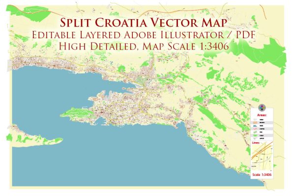
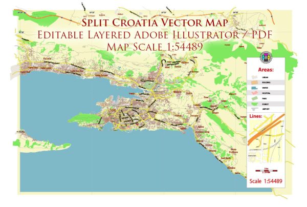
Split is a historic coastal city located in Croatia, on the eastern shore of the Adriatic Sea. It is the second-largest city in Croatia and serves as the administrative center of the Split-Dalmatia County. Split is known for its rich history, stunning architecture, and vibrant culture.
Here are some key points about Split:
- History: The city of Split was originally founded as a Greek colony in the 4th century BC. However, it gained prominence when the Roman Emperor Diocletian built his palace there in the 4th century AD. This palace, known as Diocletian’s Palace, is a UNESCO World Heritage Site and is one of the most well-preserved Roman palaces in the world.
- Diocletian’s Palace: The palace is a major attraction in Split and serves as the historical center of the city. Within its walls, you’ll find narrow streets, shops, restaurants, and various historic buildings. It’s a unique combination of ancient and modern living spaces.
- Cultural Attractions: Split boasts numerous cultural attractions, including the Cathedral of Saint Domnius, the Peristyle, and the Temple of Jupiter, all located within Diocletian’s Palace. The city also hosts various museums and galleries, like the Archaeological Museum and the Split City Museum.
- Riva Promenade: The Riva is a picturesque waterfront promenade lined with cafes, bars, and palm trees. It’s a popular spot for both locals and tourists to relax, take in the sea views, and enjoy the Mediterranean atmosphere.
- Marjan Hill: Marjan Hill is a large park forest located on a hill near the city center. It offers walking and biking trails, providing an escape from the urban hustle and offering panoramic views of the city, sea, and islands.
- Cuisine: Croatian cuisine, especially Dalmatian cuisine, is well represented in Split. You can enjoy local seafood, olive oil, and other Mediterranean dishes in its many restaurants and konobas (traditional taverns).
- Transportation: Split has a ferry port and a well-connected bus and train station, making it a transportation hub for the Dalmatian coast. You can easily reach nearby islands, such as Hvar and Brač, from Split’s ferry terminal.
- Tourism: Split has become a popular tourist destination, attracting visitors for its historical sites, beautiful beaches, and lively atmosphere. Tourism has been a significant part of the city’s economy.
Overall, Split is a city that seamlessly blends its ancient history with a modern lifestyle, making it a charming and vibrant destination on the Adriatic coast.


 Author: Kirill Shrayber, Ph.D. FRGS