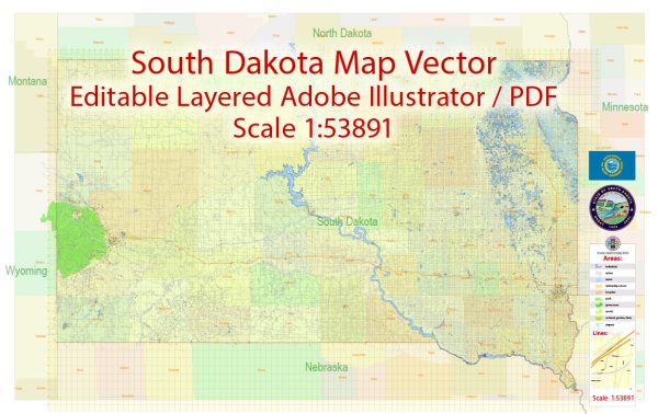
South Dakota State can refer to various entities associated with the state of South Dakota in the United States. Here are some possible interpretations:
- South Dakota State University (SDSU): This is a well-known public research university located in Brookings, South Dakota. SDSU is the state’s largest and oldest university and offers a wide range of academic programs.
- South Dakota State Flag: The state flag of South Dakota is often referred to as the “South Dakota State Flag.” It features a blue background with the state seal in the center. The seal includes various symbols representing the state’s heritage and resources.
- South Dakota State Government: This can refer to the state government of South Dakota, responsible for the administration and governance of the state. It includes the governor’s office, state legislature, and various state agencies.
- South Dakota State Parks: The state of South Dakota has numerous state parks and recreational areas. These parks are collectively referred to as “South Dakota State Parks.” They offer a wide range of outdoor recreational opportunities and are popular for camping, hiking, and other activities.
- South Dakota State Symbols: South Dakota has several official state symbols, including the state bird (Ring-necked Pheasant), state flower (Pasque Flower), state animal (Coyote), and others. These are often referred to as “South Dakota State [Symbol].”


 Author: Kirill Shrayber, Ph.D. FRGS