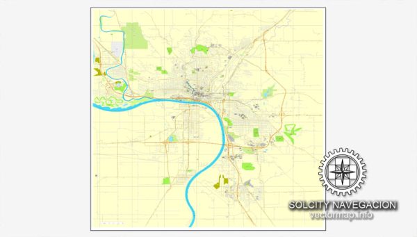
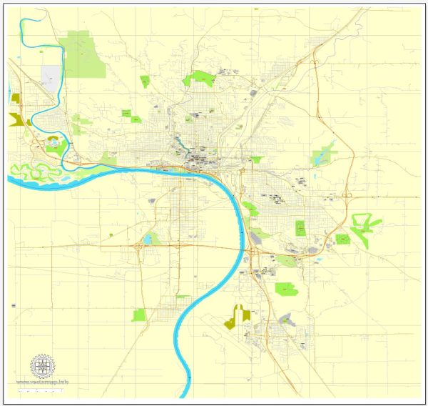
Sioux City is a city located in the state of Iowa, United States. It is the fourth-largest city in Iowa and serves as the county seat of Woodbury County. Sioux City is situated in the western part of the state, near the borders of South Dakota and Nebraska. Here are some key facts and points of interest about Sioux City, Iowa:
- History: Sioux City was originally established as a trading post in the 19th century. It played a significant role in the westward expansion of the United States and was a hub for fur trading and transportation.
- Economy: The economy of Sioux City is diverse, with industries such as agriculture, manufacturing, healthcare, and education playing a crucial role. The city is known for its agricultural processing and meatpacking plants.
- Education: Sioux City is home to several educational institutions, including Morningside College and Western Iowa Tech Community College.
- Cultural Attractions: The city has various cultural attractions, including the Sioux City Art Center, the Sergeant Floyd Monument, and the Lewis and Clark Interpretive Center. There are also several museums and theaters for cultural enrichment.
- Parks and Recreation: Sioux City offers numerous parks and recreational opportunities. One of the most popular destinations is Stone State Park, which provides hiking trails and scenic views. The Cone Park Recreation Area is a winter sports destination for skiing and tubing.
- Missouri River: The Missouri River flows through Sioux City, and the city’s Riverfront area features parks, walking trails, and a scenic view of the river.
- Events: Sioux City hosts various events throughout the year, including the Saturday in the Park music festival and the ArtSplash Art Show. The city is also known for its Fourth of July celebration, which includes a fireworks display over the Missouri River.
- Transportation: Sioux City is served by the Sioux Gateway Airport, which provides domestic flights. Interstate 29 and Interstate 129 connect the city to major transportation routes.
- Demographics: The population of Sioux City is diverse, with a mix of different ethnicities and cultures.


 Author: Kirill Shrayber, Ph.D. FRGS