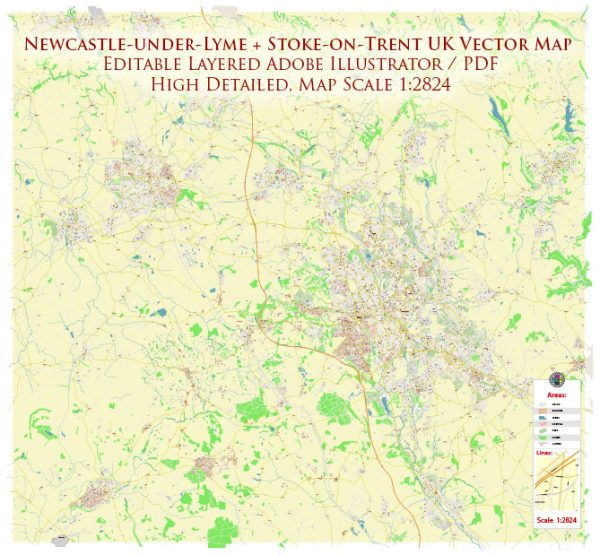
Vektoros térképek az Newcastle-under-Lyme + Stoke-on-Trent UK-ről tervezéshez és nyomtatáshoz, jogdíjmentesen
Azonnali letöltés archívumok: jogdíjmentes, szerkeszthető vektoros térképek Newcastle-under-Lyme + Stoke-on-Trent UK nagy felbontásban
digitális PDF és Adobe Illustrator formátum.
Mindezek a szerkeszthető Newcastle-under-Lyme + Stoke-on-Trent UK vektoros térképek digitális fájlok,
amely azonnal letölthető szerkeszthető PDF vagy Adobe Illustrator formátumban.
A térképen lévő objektumokat általában típusuk szerint rétegekre osztják – vonalak, sokszögek,
utcanevek, objektumnevek (lásd térképleírást!!!!)
Ezen Newcastle-under-Lyme + Stoke-on-Trent UK digitális térképek mindegyike elérhető Adobe Illustrator vagy szerkeszthető PDF formátumban,
(vagy kérésre bármely más ismert formátumban azonos áron)
amelyek vektoros megközelítést alkalmaznak a képek megjelenítésére,
könnyedén kinagyíthatja ezeknek a térképeknek bármely részét anélkül, hogy a szöveg, a vonal vagy a grafika minőségét veszélyeztetné,
bármilyen növekedési vagy csökkentési arány mellett.
vektorgrafikus szerkesztő, például Adobe Illustrator, CorelDraw, Inkscape vagy Freehand használata
könnyedén kivághatja a térkép egyes részeit, hozzáadhat egyéni karaktereket,
és szükség szerint módosíthatja a színeket és a betűtípus attribútumait.
Számos Newcastle-under-Lyme + Stoke-on-Trent UK az egyszerű üres ösvényektől az utakat és tereprétegeket
tartalmazó, rendkívül részletes térképekig.


 Author: Kirill Shrayber, Ph.D. FRGS