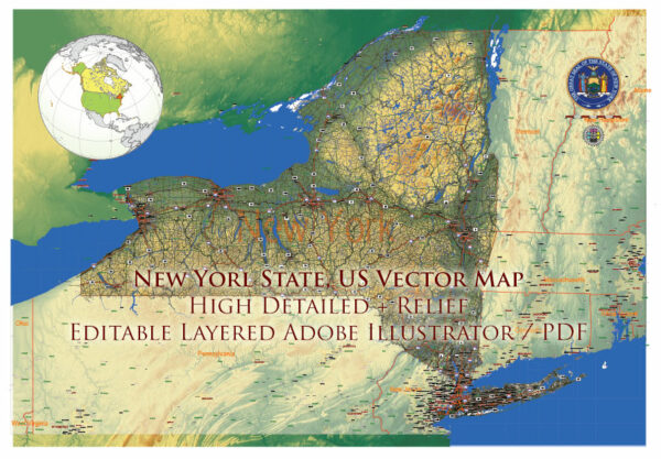
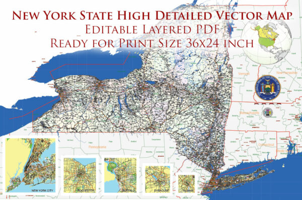
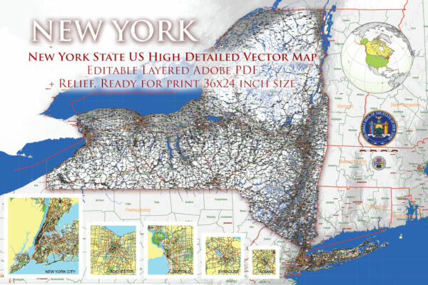
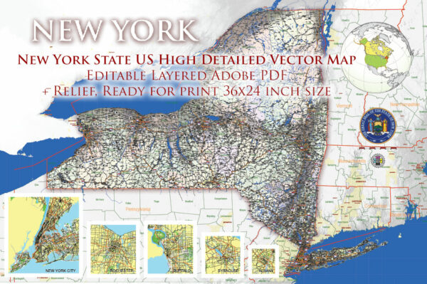
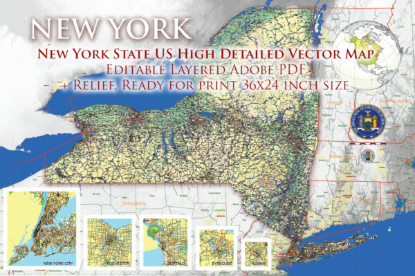
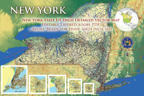
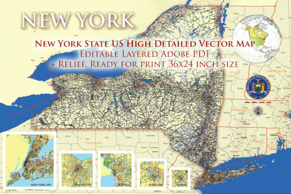
City Map New York State US

Map — New York State

A clean map of New York State with named layers and consistent geometry for fast cartographic work. Waterfronts and parks receive extra separation for better contrast on light palettes. District and neighborhood labels are arranged to avoid collisions around dense cores. Contours and landuse layers can be toggled to match tourism or planning use cases. Layer structure separates arterials and locals, districts, hydrography, parks and landmarks. Bridges, tunnels and ferry lines are isolated so routes remain legible after recolor.

Saves prepress time by reducing manual fixes and keeping the visual system consistent. Use it for visitor guides, city infographics, investment decks and municipal communications. The map integrates neatly with common DTP and GIS workflows. Keeps labels readable while allowing deep customization of routes and highlights. Export presets help maintain crisp strokes on both coated and uncoated paper.

Vektorkartor över New York State US för design och tryck, royaltyfritt
Omedelbar nedladdningsarkiv: royaltyfria, redigerbara vektorkartor över New York State US i hög upplösning
digital PDF och Adobe Illustrator-format.

Alla dessa redigerbara New York State US vektorkartor är digitala filer,
som omedelbart kan laddas ner i redigerbar PDF- eller Adobe Illustrator-format.
Objekt på kartor är vanligtvis indelade i lager efter deras typ – linjer, polygoner,
gatunamn, objektnamn (se kartbeskrivning!!!!)
Var och en av dessa New York State US digitala kartor är tillgängliga i Adobe Illustrator eller redigerbart PDF-format,
(eller på begäran i något annat känt format för samma pris)
som använder en vektormetod för att visa bilder,
du kan enkelt förstora alla delar av dessa kartor utan att kompromissa med text, linje eller grafikkvalitet,
med någon ökning eller minskning.
Använda en vektorgrafikredigerare som Adobe Illustrator, CorelDraw, Inkscape eller Freehand
du kan enkelt beskära delar av kartan, lägga till anpassade tecken och ändra färger och teckensnitt efter behov.
Vi har en mängd olika New York State US vektorkartor med olika detaljnivåer,
från enkla tomma stigar till mycket detaljerade kartor med vägar och terränglager.

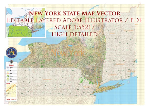
Author: Kirill Shrayber, Ph.D.

I have been working with vector cartography for over 25 years, including GPS, GIS, Adobe Illustrator and other professional cartographic software.
Linkedin: https://www.linkedin.com/in/kirill-shrayber-0b839325/
Twitter: https://twitter.com/vectormapper

Are we missing some maps? Let us know!!!
What map do you need?

    We will upload it within the next 24 hours and notify you by Email.

    Menu