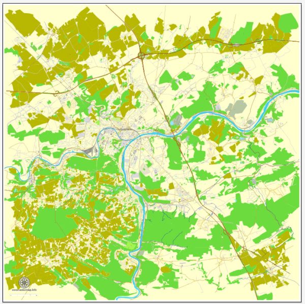
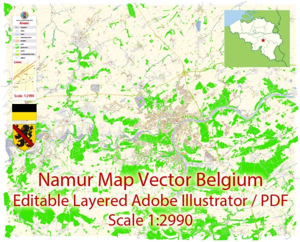
City Map Namur Belgium

Map — Namur Belgium

An editable map of Namur Belgium designed as a dependable base for print and digital layouts. Contours and landuse layers can be toggled to match tourism or planning use cases. Typography spacing is tuned for quick reading on posters, brochures and reports. The file accepts custom grids, legends and callouts without redrawing base content. Coordinates and scales are prepared for sheet production and consistent exports. Crisp vectors preserve edges at high DPI and export compactly for web delivery.

Use it for visitor guides, city infographics, investment decks and municipal communications. Saves prepress time by reducing manual fixes and keeping the visual system consistent. Color systems can be swapped quickly to match seasonal or brand variants. Editors can brand the palette and icons, then export sharp results for both print and web. Legibility holds up on handheld leaflets and large lobby posters alike.

Vektorové mapy Namur Belgium za design a tisk bez poplatku
Okamžité stahování archivů: bezplatné upravitelné vektorové mapy Namur Belgium ve vysokém rozlišení
digitální formát PDF a Adobe Illustrator.

Všechny tyto upravitelné vektorové mapy Namur Belgium jsou digitální soubory,
které lze okamžitě stáhnout v upravitelném formátu PDF nebo Adobe Illustrator.
Objekty na mapách jsou obvykle rozděleny do vrstev podle typu – čáry, polygony,
názvy ulic, názvy objektů (viz popis mapy!!!!)
Každá z těchto digitálních map Namur Belgium je k dispozici ve formátu Adobe Illustrator nebo upravitelném formátu PDF,
(nebo na vyžádání v jakémkoli jiném známém formátu za stejnou cenu)
které používají vektorový přístup k zobrazení obrázků,
můžete snadno zvětšit kteroukoli část těchto map bez kompromisů v kvalitě textu, čar nebo grafiky,
s jakýmkoliv zvýšením nebo snížením poměru.
Pomocí editoru vektorové grafiky, jako je Adobe Illustrator, CorelDraw, Inkscape nebo Freehand
můžete snadno oříznout části mapy, přidat vlastní znaky a podle potřeby změnit barvy a atributy písma.
Máme řadu Namur Belgium vektorových map s různými úrovněmi detailů,
od jednoduchých prázdných cest až po velmi podrobné mapy se silnicemi a vrstvami terénu.

Author: Kirill Shrayber, Ph.D.

I have been working with vector cartography for over 25 years, including GPS, GIS, Adobe Illustrator and other professional cartographic software.
Linkedin: https://www.linkedin.com/in/kirill-shrayber-0b839325/
Twitter: https://twitter.com/vectormapper

Are we missing some maps? Let us know!!!
What map do you need?

    We will upload it within the next 24 hours and notify you by Email.

    Menu