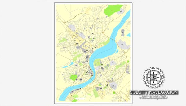
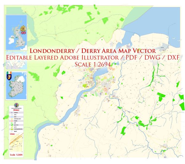
Vector Maps of the Derry, also known as Londonderry : city on the River Foyle in Northern Ireland. It’s known for the intact 17th-century Derry’s Walls with 7 gates. Within the walls, spired St. Columb’s Cathedral displays artifacts from the 1688–9 Siege of Derry. Near the Peace Bridge, the Tower Museum has city views and historical exhibits. Huge stained-glass windows adorn the neo-Gothic red sandstone Guildhall.
Province: Ulster
Download royalty free, editable vector maps of Derry Northern Ireland in high resolution digital PDF and Adobe Illustrator format.
Map — Londonderry Derry UK
An editable map of Londonderry Derry UK designed as a dependable base for print and digital layouts. District and neighborhood labels are arranged to avoid collisions around dense cores. Layer structure separates arterials and locals, districts, hydrography, parks and landmarks. Named layers let you restyle colors, line weights and label classes without cleanup passes. Typography spacing is tuned for quick reading on posters, brochures and reports. The file accepts custom grids, legends and callouts without redrawing base content.
Ideal for signage, event maps, campus leaflets and waterfront brochures. Use it for visitor guides, city infographics, investment decks and municipal communications. Legibility holds up on handheld leaflets and large lobby posters alike. Editors can brand the palette and icons, then export sharp results for both print and web. Export presets help maintain crisp strokes on both coated and uncoated paper.


 Author: Kirill Shrayber, Ph.D. FRGS