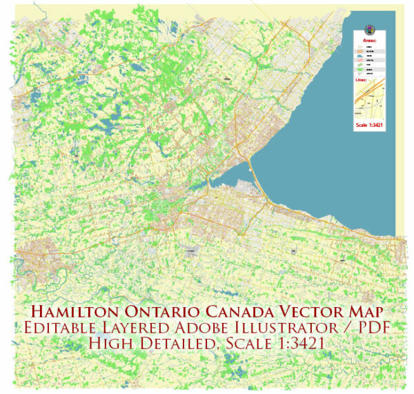
As of my last knowledge update in September 2023, I can provide some general information about the road system in Hamilton, Ontario, Canada. Please note that road systems can change over time due to construction, maintenance, and other factors. It’s a good idea to check with local authorities or use a navigation app for the most up-to-date information.
- Highways: Hamilton is well-connected to the rest of the Greater Toronto and Hamilton Area (GTHA) through a network of highways. The Queen Elizabeth Way (QEW), Highway 403, and the Lincoln M. Alexander Parkway are some of the major routes that pass through or near Hamilton.
- City Roads: Hamilton has an extensive network of city roads that cover the urban and suburban areas of the city. The road system is organized on a grid pattern in many areas, making it relatively easy to navigate.
- Mountain Access: The Niagara Escarpment runs through Hamilton, and there are several access points to the “Mountain” as locals often call it. The Claremont Access, Jolley Cut, and Kenilworth Access are some of the access points that allow you to travel from the lower city to the upper city and vice versa.
- Public Transportation: Hamilton also has a public transportation system, which includes buses and a Light Rail Transit (LRT) system called the Hamilton LRT (still under development as of 2023). Public transportation can be a convenient way to get around the city.
- Cycling Lanes: Hamilton has been working to improve its cycling infrastructure, including the addition of dedicated cycling lanes and bike-friendly routes throughout the city.
- Construction and Maintenance: Like any city, Hamilton experiences road construction and maintenance projects that can affect traffic flow. It’s a good idea to check for any ongoing construction or road closures if you plan to drive in the city.
To get the most up-to-date information on the road system, traffic conditions, and any changes that may have occurred after September 2023, you can refer to local traffic and transportation authorities, or use a GPS navigation app like Google Maps or Waze for real-time updates.


 Author: Kirill Shrayber, Ph.D. FRGS