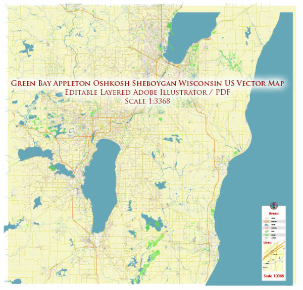
Green Bay and Sheboygan are two cities located in the state of Wisconsin, USA. Each city has its own road system and transportation infrastructure. Here’s a general overview of the road systems in both Green Bay and Sheboygan:
Green Bay, Wisconsin:
- Green Bay, being one of the largest cities in Wisconsin, has a well-developed road system.
- The city is served by major highways and interstates, including Interstate 43 (I-43), which runs north-south through the area, and Interstate 41 (I-41), which runs through the western part of the city.
- Other major routes include U.S. Highway 41 (US 41) and State Highway 172.
- Green Bay’s road network includes local streets and roads, as well as various transportation options, such as public transit services, bike lanes, and pedestrian pathways.
Sheboygan, Wisconsin:
- Sheboygan also has a road system appropriate for a city of its size in Wisconsin.
- Major highways serving Sheboygan include I-43 and State Highway 23.
- The road network in Sheboygan consists of local streets, avenues, and roads that provide access to residential, commercial, and industrial areas.
- Sheboygan has its own public transportation system, which includes bus services, to facilitate local and regional travel.
Both Green Bay and Sheboygan, like many other cities in the United States, maintain and upgrade their road infrastructure to accommodate the needs of residents, businesses, and visitors. If you require specific information about road conditions, construction projects, or traffic updates in either city, it is recommended to check with the local departments of transportation, city government websites, or use navigation apps for real-time traffic and road information.


 Author: Kirill Shrayber, Ph.D. FRGS