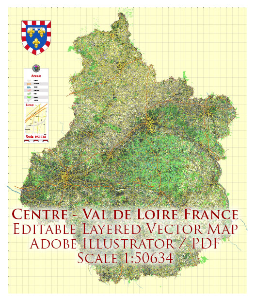
The Centre-Val de Loire region in France has a well-developed transportation system that includes various modes of transportation to help residents and tourists get around the area. Here are some key components of the transportation system in Centre-Val de Loire:
- Road Transportation:
- Autoroutes (Highways): The region is well-connected by a network of highways, including the A10, A71, A85, and A77, which make it easy to travel by car between major cities and regions.
- Departmental and Local Roads: These roads connect smaller towns and villages, providing access to more remote areas.
- Rail Transportation:
- SNCF Trains: The French national railway company, SNCF, operates an extensive network of trains that connect the major cities in Centre-Val de Loire. The region is on the main train line between Paris and southwestern France.
- TER Trains: The regional train service, known as TER (Transport Express Régional), connects towns and cities within the region, making it easy to travel locally.
- Public Transportation:
- Bus Services: Several bus companies operate within the region, providing public transportation services in urban and rural areas.
- Tram Services: Some cities, such as Orléans, have tram systems that offer convenient transportation within the city.
- Air Transportation:
- Airports: Centre-Val de Loire has several airports, including Tours Val de Loire Airport, which provides domestic and international flights. These airports facilitate air travel within and to/from the region.
- River Transportation:
- Loire River: The Loire River runs through the region, and there are opportunities for river transportation, such as boat tours and cruises, providing a unique way to explore the area.
- Bicycle Paths:
- The region is known for its beautiful countryside and cycling-friendly terrain. There are many dedicated cycling paths and routes for those who prefer traveling by bike.
- Car Rentals:
- Rental car agencies are available in major cities and at airports, making it easy for travelers to explore the region at their own pace.
- Taxis and Ride-Sharing:
- Taxis and ride-sharing services like Uber are available in major urban centers, providing convenient options for getting around.
- Carpooling:
- Carpooling services and apps are popular in France and can be a cost-effective and eco-friendly way to travel within the region.
The transportation system in Centre-Val de Loire is designed to cater to the needs of both residents and tourists, making it relatively easy to travel within the region and access its various attractions and cultural sites.


 Author: Kirill Shrayber, Ph.D. FRGS