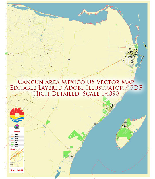
Cancún, located on the northeastern coast of the Yucatán Peninsula in Mexico, has a fascinating geological history that has contributed to its unique natural features. Here’s a brief geology description of Cancún:
- Karst Topography: The geology of Cancún is primarily characterized by karst topography. The Yucatán Peninsula, including Cancún, is largely composed of limestone and other soluble rocks. Over millions of years, the action of rainwater and groundwater has created an intricate network of underground caves, cenotes (natural sinkholes), and caverns.
- Cenotes: Cenotes are one of the most iconic geological features in the region. These are natural sinkholes formed when the limestone bedrock collapsed, exposing freshwater pools. Some cenotes are open-air, while others are partially or entirely underground. They played a significant role in the ancient Mayan civilization as sources of freshwater and sacred sites.
- Mayan Underground Rivers: Beneath Cancún’s surface lies a vast network of underground rivers, also known as cenote systems. These rivers flow through extensive cave systems, creating a unique subterranean landscape. These underground rivers are a popular attraction for cave diving and snorkeling.
- Beaches and Barrier Reef: Cancún boasts beautiful sandy beaches, which are composed of fine, white coral sand. The region is part of the Mesoamerican Barrier Reef System, the second-largest coral reef system in the world. The reefs are formed by the accumulation of coral skeletons and provide excellent opportunities for snorkeling and scuba diving.
- Sinking and Rising Land: The Yucatán Peninsula is gradually sinking, a geological phenomenon known as subsidence. This subsidence is caused by the gradual dissolution of the underlying limestone due to the infiltration of rainwater. At the same time, sea levels are rising due to global climate change, which makes Cancún particularly vulnerable to sea-level rise and flooding.
- Geological Hazards: The region is prone to geological hazards, including sinkholes, which can suddenly appear due to the dissolution of limestone. Additionally, the Yucatán Peninsula is situated near tectonic plate boundaries, and although it is not highly seismically active, it can occasionally experience earthquakes.
- Geological Tourism: The unique geology of Cancún and the Yucatán Peninsula makes it a popular destination for tourists interested in geology and outdoor activities like cave exploration, cenote swimming, and diving in the cenote systems. It also offers a wealth of opportunities for geological research.
Cancún’s geological heritage is closely tied to its natural beauty and provides a rich backdrop for the cultural and recreational experiences that make the region a popular tourist destination.


 Author: Kirill Shrayber, Ph.D. FRGS