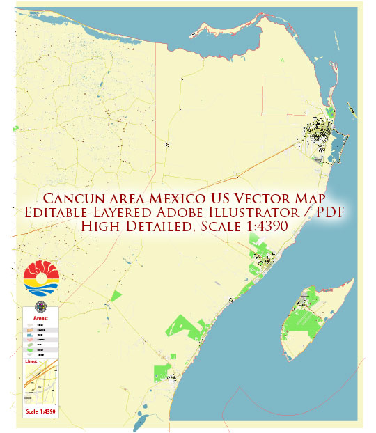
Cancún, located on the eastern coast of Mexico’s Yucatán Peninsula, has a well-developed road system that connects the city to its various districts and the surrounding region. Here’s an overview of the road system in Cancún:
- Boulevard Kukulcan (Boulevard Kukulcán): This is the main road that runs through the Hotel Zone (Zona Hotelera) in Cancún. It is a long, narrow strip of land with the Caribbean Sea on one side and the Nichupté Lagoon on the other. Boulevard Kukulcan is lined with hotels, resorts, restaurants, and shops.
- Avenida Tulum: Avenida Tulum is a major north-south road in Cancún that connects the Hotel Zone with the downtown area and further inland. It is an important commercial and transportation corridor.
- Avenida Cobá: This road runs parallel to Avenida Tulum and serves as an alternate route between the Hotel Zone and downtown Cancún.
- Carretera Cancún-Tulum (Cancún-Tulum Highway): This is a major highway that connects Cancún with the town of Tulum, which is known for its archaeological sites and beautiful beaches. It is also part of the broader road network connecting Cancún to other parts of the Yucatán Peninsula.
- Carretera Cancún-Mérida (Cancún-Mérida Highway): This highway connects Cancún to the city of Mérida in the western part of the Yucatán Peninsula. It provides access to other towns and attractions in the region.
- Carretera Cancún-Chetumal (Cancún-Chetumal Highway): This highway connects Cancún to Chetumal, the capital of the state of Quintana Roo. It is a vital transportation route in the region.
- Periférico (Cancún Bypass): The Periférico is a ring road that encircles the city of Cancún, diverting traffic away from the downtown area and providing a more efficient route for those traveling through the city.
- Local Roads: Within the city of Cancún, you will find a network of local roads and streets that provide access to residential neighborhoods, commercial areas, and various services.
It’s worth noting that traffic can be heavy in the Hotel Zone, especially during peak tourist seasons, so plan your travel accordingly. Additionally, road conditions in some areas may vary, so exercise caution when driving, especially in less developed parts of the region.


 Author: Kirill Shrayber, Ph.D. FRGS