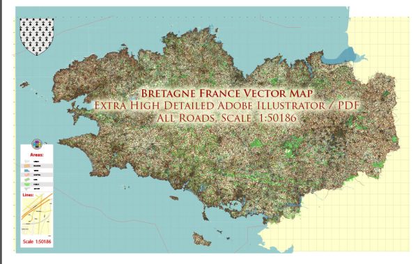
Brittany (Bretagne in French) is a region located in the northwest of France. It has a well-developed and diverse transportation system that includes various modes of travel. Here is an overview of the transportation system in Brittany:
- Roads: Brittany has an extensive road network, including highways (autoroutes), national roads, and local roads. The most prominent highways are the A11, A84, and A87, which connect the region to other parts of France. The road system is essential for both passenger and freight transportation.
- Railways: Brittany is well-connected to the French rail network. The TGV (Train à Grande Vitesse) high-speed train services provide fast connections to Paris and other major cities. The region also has a network of regional and local trains, operated by TER (Transport Express Régional), making it easy to travel within Brittany.
- Public Transit: Major cities in Brittany, such as Rennes, Nantes, and Brest, have well-developed public transit systems. These systems typically include buses and trams. Rennes, the capital of Brittany, has a modern metro system, making it convenient for commuters and visitors to move around the city.
- Airports: Brittany has several airports, with the most significant one being Rennes-Saint-Jacques Airport. This airport offers both domestic and international flights. Other airports in Brittany, such as Nantes Atlantique Airport and Brest Bretagne Airport, provide additional options for air travel.
- Ports: Brittany has a substantial coastline, and several ports serve both passenger and cargo transportation. The ports of Saint-Malo, Brest, Lorient, and Nantes-Saint-Nazaire are vital for maritime trade and also offer passenger ferry services to destinations like the Channel Islands and the UK.
- Cycling: Brittany is known for its beautiful landscapes, and cycling is a popular mode of transport for both locals and tourists. The region has a network of cycling routes and bike-friendly infrastructure, such as bike lanes and rental services.
- Walking: In urban areas and some smaller towns, walking is a practical means of getting around. Cities like Rennes are designed with pedestrian-friendly streets and squares, making walking a convenient way to explore the city center.
- Car Rentals: Car rental services are available at airports and major cities, offering flexibility to travelers who wish to explore Brittany’s rural and less accessible areas.
Overall, Brittany’s transportation system is well-developed and accommodates the diverse needs of both residents and tourists. Whether you’re looking to explore the region’s historic towns, enjoy the coastal scenery, or travel to other parts of France, Brittany offers a range of transportation options to suit your needs.


 Author: Kirill Shrayber, Ph.D. FRGS