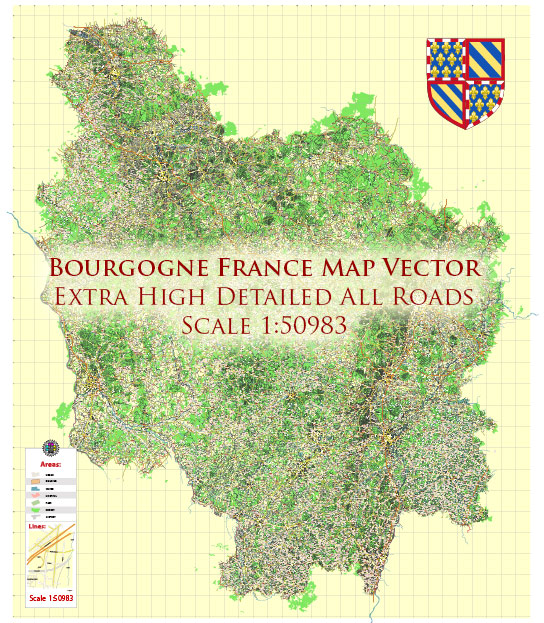
The road system in the Bourgogne (Burgundy) region of France is an essential part of the region’s transportation infrastructure. Bourgogne is known for its beautiful vineyards, historic towns, and picturesque countryside, and the road network plays a crucial role in connecting these areas. Here is an overview of the road system in Bourgogne:
- Autoroutes (Highways): Bourgogne is well connected to the French autoroute network, making it easily accessible by road. Some of the major autoroutes that pass through or near Bourgogne include:
- A6 (Autoroute du Soleil): This is one of the main north-south highways in France and connects Paris to Lyon. It passes through Bourgogne, connecting cities like Auxerre, Beaune, and Chalon-sur-Saône.
- A31: This autoroute runs from Nancy to Beaune, providing access to Dijon, one of the largest cities in the region.
- A36: Although it doesn’t directly go through Bourgogne, it is an important route for those traveling to and from the east of the region.
- National and Regional Roads: Bourgogne has an extensive network of national and regional roads that connect smaller towns and villages. These roads are often scenic and are an excellent way to explore the region’s countryside. Some of the main national roads in Bourgogne include the N6, N7, and N70.
- Departmental Roads: The departmental road network, managed by individual départements (counties), provides access to more remote areas of Bourgogne and is essential for local transportation.
- Scenic Routes: Bourgogne is famous for its scenic routes, especially in the wine-growing areas. The Route des Grands Crus, for example, is a well-known wine route that winds through the Côte d’Or vineyards, offering stunning views and access to various wineries.
- Rural and Local Roads: The region also has numerous smaller roads that lead to charming villages, vineyards, and natural attractions. These roads are ideal for exploring the countryside and experiencing the beauty of Bourgogne.
- Public Transportation: In addition to the road network, Bourgogne has a well-developed public transportation system, including trains and buses, making it possible to explore the region without a car.
It’s important to note that road conditions and traffic regulations may change over time, so it’s advisable to check for the latest information, including maps, traffic updates, and road closures, before embarking on a road trip in Bourgogne. Additionally, if you plan to drive in France, make sure to familiarize yourself with the local driving laws and regulations, including speed limits and road signs.


 Author: Kirill Shrayber, Ph.D. FRGS