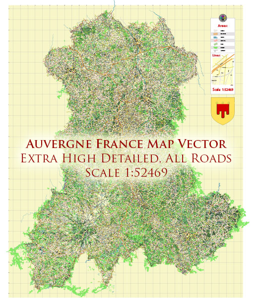
The transportation system in Auvergne, a region in central France, is well-developed and offers various options for getting around the area. Here are some of the key aspects of the transportation system in Auvergne:
- Road Network: Auvergne has an extensive network of roads and highways, including the A71 and A75 autoroutes (motorways) that connect the region to major cities like Clermont-Ferrand, Montluçon, and beyond. These highways make it easy to travel by car or bus within the region and to reach other parts of France.
- Public Transportation: The region has a comprehensive public transportation system that includes buses and trams, especially in Clermont-Ferrand, the regional capital. Public buses and trams are operated by T2C (Transports en Commun de l’agglomération clermontoise) and are a convenient way to get around the city and its suburbs.
- Train Services: Auvergne is served by the French national railway system, the SNCF (Société Nationale des Chemins de fer Français). The train network connects major cities and towns in the region and provides access to destinations throughout France. Clermont-Ferrand is a significant transportation hub in Auvergne.
- Air Travel: Auvergne is served by several airports, including Clermont-Ferrand Auvergne Airport. This airport offers domestic and international flights, connecting the region to major cities in France and other countries.
- Cycling: Auvergne offers a scenic and diverse landscape, making it a great place for cycling enthusiasts. The region has a network of cycling routes, both on and off-road, for cyclists of all levels. Some areas, like the Parc Naturel Régional des Volcans d’Auvergne, offer excellent opportunities for cycling.
- Car Rentals: Renting a car is a convenient option for exploring the region, especially if you want to venture into more remote or rural areas. Car rental agencies are available at airports and major towns.
- Walking and Hiking: Auvergne is known for its beautiful natural landscapes, including the volcanic Massif Central. There are numerous hiking trails and walking paths throughout the region, which allow you to explore its natural beauty on foot.
- Taxis and Ridesharing: Taxis are available in most urban areas, and ridesharing services like Uber may also be accessible, particularly in larger cities.
The transportation system in Auvergne is well-suited for both residents and tourists, making it relatively easy to explore the region’s cities, towns, and natural attractions. It’s worth noting that transportation options and services may evolve, so it’s a good idea to check the latest information and schedules when planning your trip.


 Author: Kirill Shrayber, Ph.D. FRGS