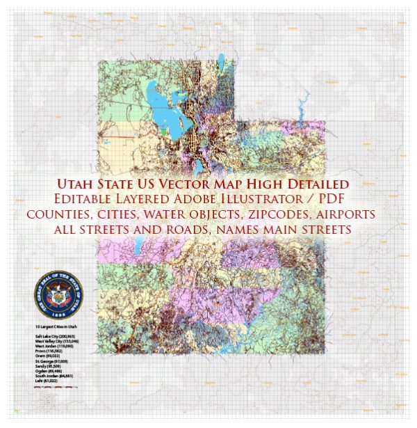
Vektorikartat kohteista Utah State US suunnitteluun ja painatukseen, rojaltivapaa
Pikalatausarkistot: rojaltivapaat, muokattavat vektorikartat kohteesta Utah State US korkealla resoluutiolla
digitaalinen PDF ja Adobe Illustrator -muoto.
Kaikki nämä muokattavat Utah State US vektorikartat ovat digitaalisia tiedostoja,
joka voidaan ladata välittömästi muokattavassa PDF- tai Adobe Illustrator -muodossa.
Karttojen kohteet on yleensä jaettu tasoihin niiden tyyppien mukaan – viivat, polygonit,
katujen nimet, kohteiden nimet (katso karttakuvaus!!!!)
Jokainen näistä Utah State US-digitaalisista kartoista on saatavilla Adobe Illustratorissa tai muokattavassa PDF-muodossa,
(tai pyynnöstä missä tahansa muussa tunnetussa muodossa samaan hintaan)
jotka käyttävät vektorilähestymistapaa kuvien näyttämiseen,
voit helposti suurentaa mitä tahansa näiden karttojen osaa tinkimättä tekstin, viivojen tai grafiikan laadusta,
millä tahansa lisäys- tai vähennyssuhteella.
Käyttämällä vektorigrafiikkaeditoria, kuten Adobe Illustrator, CorelDraw, Inkscape tai Freehand
voit helposti rajata kartan osia, lisätä mukautettuja merkkejä ja muuttaa värejä ja kirjasinmääritteitä tarpeen mukaan.
Meillä on erilaisia Utah State US-vektorikarttoja, joissa on eri tarkkuudet,
yksinkertaisista tyhjistä poluista erittäin yksityiskohtaisiin karttoihin, joissa on teitä ja maastokerroksia.


 Author: Kirill Shrayber, Ph.D. FRGS