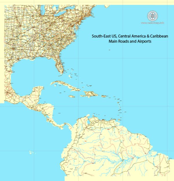
Mapy wektorowe US South-East part do projektowania i drukowania, bezpłatnie
Natychmiastowe pobieranie archiwów: bezpłatne, edytowalne mapy wektorowe US South-East part w wysokiej rozdzielczości
cyfrowy format PDF i Adobe Illustrator.
Wszystkie te edytowalne mapy wektorowe US South-East part to pliki cyfrowe,
które można natychmiast pobrać w edytowalnym formacie PDF lub Adobe Illustrator.
Obiekty na mapach są zwykle podzielone na warstwy według ich typów – linie, wielokąty,
nazwy ulic, nazwy obiektów (patrz opis mapy!!!!)
Każda z tych US South-East part map cyfrowych jest dostępna w formacie Adobe Illustrator lub edytowalnym formacie PDF,
(lub na życzenie w innym znanym formacie w tej samej cenie)
które wykorzystują podejście wektorowe do wyświetlania obrazów,
możesz łatwo powiększyć dowolną część tych map bez utraty jakości tekstu, linii lub grafiki,
z dowolnym współczynnikiem wzrostu lub spadku.
Korzystanie z edytora grafiki wektorowej, takiego jak Adobe Illustrator, CorelDraw, Inkscape lub Freehand
możesz łatwo przycinać części mapy, dodawać niestandardowe znaki oraz zmieniać kolory i atrybuty czcionek według potrzeb.
Mamy różne mapy wektorowe US South-East part o różnych poziomach szczegółowości,
od prostych pustych ścieżek po bardzo szczegółowe mapy z warstwami dróg i terenu.


 Author: Kirill Shrayber, Ph.D. FRGS