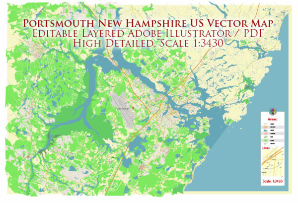
Portsmouth, New Hampshire, is a historic city located in the United States. It is the only city in Rockingham County and is known for its rich maritime history, charming downtown area, and vibrant cultural scene. Here are some key facts about Portsmouth, New Hampshire:
- Location: Portsmouth is situated in the southeastern part of New Hampshire, along the Piscataqua River, which forms the border between New Hampshire and Maine. It’s approximately 45 miles (72 kilometers) northeast of Boston, Massachusetts.
- History: Portsmouth has a deep historical significance and was settled in 1623, making it one of the oldest cities in the United States. It played a crucial role in early American history and was a prominent port and shipbuilding center.
- Attractions: Portsmouth boasts numerous historical landmarks, including Strawbery Banke Museum, which is an outdoor history museum featuring preserved colonial-era buildings. The city is also home to several theaters, art galleries, and a variety of cultural events. Additionally, Prescott Park is a beautiful waterfront park with gardens and seasonal events.
- Dining and Entertainment: Portsmouth offers a thriving culinary scene with a wide range of restaurants, from seafood to international cuisine. The downtown area is filled with shops, boutiques, and vibrant nightlife options.
- Tourism: It’s a popular tourist destination, attracting visitors with its picturesque waterfront, historic homes, and access to the Isles of Shoals, a group of small islands located about 6 miles off the coast.
- Economic Activity: Portsmouth has a diverse economy with a strong presence in the technology, healthcare, and education sectors. The city is home to several notable companies and organizations.
- Education: The University of New Hampshire has a campus in Portsmouth, and the city is also home to various public and private schools.
- Transportation: Portsmouth is accessible via Interstate 95 and is serviced by the Pease International Tradeport, a former military base turned into a commercial airport. Additionally, it has a bustling port with ferry connections to nearby islands and parts of Maine.
- Climate: Portsmouth experiences a typical New England climate, with cold winters and warm summers. Precipitation is relatively evenly distributed throughout the year.
Portsmouth, New Hampshire, is a charming and historically rich city with a vibrant community and a strong connection to its maritime heritage. It offers a mix of cultural, recreational, and economic opportunities, making it an appealing place to live or visit.


 Author: Kirill Shrayber, Ph.D. FRGS