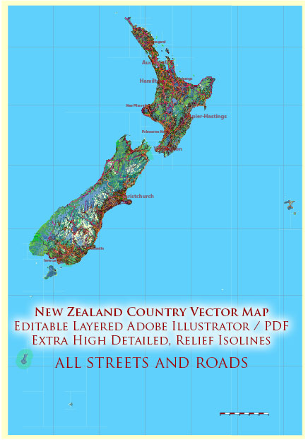
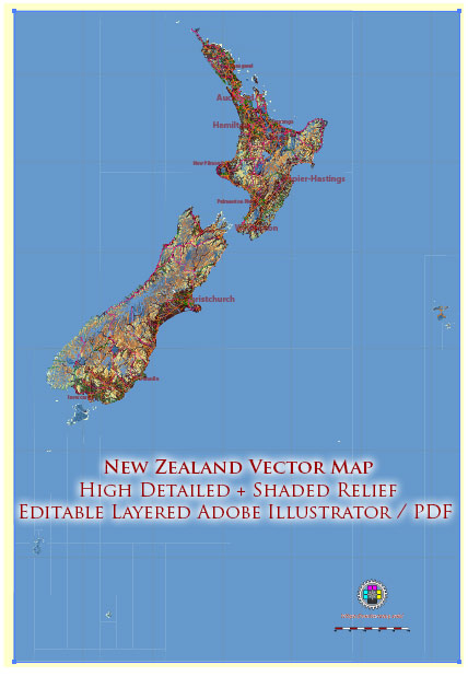
Vektorkarten der New Zealand Full country Mercator für Design und Druck, lizenzfrei
Sofort-Download-Archive: lizenzfreie, editierbare Vektorkarten von New Zealand Full country Mercator in hoher Auflösung
digitales PDF- und Adobe Illustrator-Format.
Alle diese editierbaren New Zealand Full country Mercator Vektorkarten sind digitale Dateien,
die sofort im bearbeitbaren PDF- oder Adobe Illustrator-Format heruntergeladen werden können.
Objekte auf Karten werden normalerweise nach ihrem Typ in Schichten unterteilt – Linien, Polygone,
Straßennamen, Objektnamen (siehe Kartenbeschreibung!!!!)
Jede dieser New Zealand Full country Mercator digitalen Karten ist im Adobe Illustrator- oder bearbeitbaren PDF-Format verfügbar.
(oder auf Anfrage in jedem anderen bekannten Format zum gleichen Preis)
die einen Vektoransatz verwenden, um Bilder anzuzeigen,
Sie können jeden Teil dieser Karten problemlos vergrößern, ohne die Text-, Linien- oder Grafikqualität zu beeinträchtigen.
mit einem beliebigen Erhöhungs- oder Verringerungsverhältnis.
Verwenden Sie einen Vektorgrafik-Editor wie Adobe Illustrator, CorelDraw, Inkscape oder Freehand
Sie können ganz einfach Teile der Karte zuschneiden, benutzerdefinierte Zeichen hinzufügen und Farben und Schriftattribute nach Bedarf ändern.
Wir haben eine Vielzahl von New Zealand Full country Mercator Vektorkarten mit unterschiedlichen Detailstufen,
von einfachen leeren Pfaden bis hin zu hochdetaillierten Karten mit Straßen und Geländeschichten.


 Author: Kirill Shrayber, Ph.D. FRGS