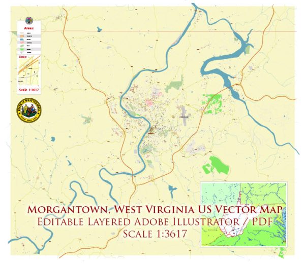
Vektorkort over Morgantown West Virginia US til design og tryk, royaltyfrit
Øjeblikkelige downloadarkiver: royaltyfrie, redigerbare vektorkort over Morgantown West Virginia US i høj opløsning
digital PDF og Adobe Illustrator-format.
Alle disse redigerbare Morgantown West Virginia US vektorkort er digitale filer,
som øjeblikkeligt kan downloades i redigerbar PDF eller Adobe Illustrator-format.
Objekter på kort er normalt opdelt i lag efter deres type – linjer, polygoner,
vejnavne, objektnavne (se kortbeskrivelse!!!!)
Hvert af disse Morgantown West Virginia US digitale kort er tilgængelige i Adobe Illustrator eller redigerbart PDF-format,
(eller på forespørgsel i ethvert andet kendt format til samme pris)
som bruger en vektortilgang til at vise billeder,
du kan nemt forstørre enhver del af disse kort uden at gå på kompromis med tekst, linje eller grafikkvalitet,
med ethvert stignings- eller faldforhold.
Brug af en vektorgrafikeditor som Adobe Illustrator, CorelDraw, Inkscape eller Freehand
du kan nemt beskære dele af kortet, tilføje brugerdefinerede tegn og ændre farver og skrifttypeattributter efter behov.
Vi har en række Morgantown West Virginia US vektorkort med forskellige detaljeringsniveauer,
fra simple tomme stier til meget detaljerede kort med veje og terrænlag.


 Author: Kirill Shrayber, Ph.D. FRGS