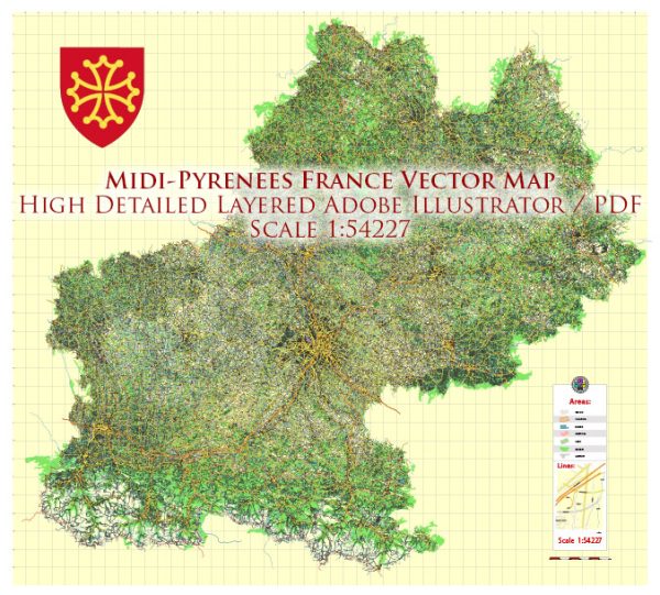
Midi-Pyrénées was a former administrative region in the southwest of France. However, in 2016, it was merged with the region of Languedoc-Roussillon to form the new administrative region called Occitanie.
Midi-Pyrénées was known for its diverse geography and included a wide range of landscapes, from the Pyrenees Mountains in the south to the flat plains of the Garonne River in the north. It was the largest region in metropolitan France in terms of land area.
Some of the notable cities and places in Midi-Pyrénées included:
- Toulouse: The regional capital and the fourth-largest city in France. Toulouse is known for its aerospace industry and is often referred to as “Aerospace Valley” due to the presence of companies like Airbus.
- Lourdes: A major Catholic pilgrimage site known for the Sanctuary of Our Lady of Lourdes.
- Cahors: A historic town known for its medieval bridge and its Malbec wine production.
- Albi: A picturesque town with a well-preserved medieval center, including the impressive Sainte-Cécile Cathedral.
- Carcassonne: Famous for its medieval fortress, the Cité de Carcassonne, which is a UNESCO World Heritage site.
- The Pyrenees: A mountain range that forms the natural border between France and Spain, offering opportunities for outdoor activities like hiking and skiing.
- Tarn Gorges: A scenic canyon carved by the Tarn River, known for its rugged beauty.


 Author: Kirill Shrayber, Ph.D. FRGS