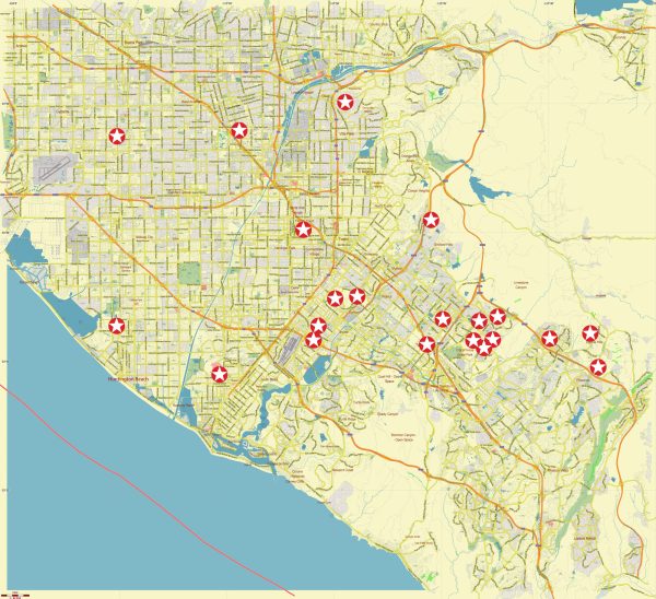
Orange County, California, is a region located in the southern part of the state. Here is some basic information about Orange County:
- Location: Orange County is situated in the southern part of California, bordering the Pacific Ocean to the west, Los Angeles County to the north, Riverside County to the east, and San Diego County to the southeast.
- County Seat: The county seat of Orange County is Santa Ana.
- Cities: Orange County is home to many cities, including Anaheim, Irvine, Huntington Beach, Newport Beach, Laguna Beach, and many others.
- Population: As of my last knowledge update in September 2021, Orange County had a population of over 3 million people. Please note that population figures may have changed since then.
- Economy: Orange County is known for its strong and diverse economy. It is a hub for technology, finance, tourism, and various other industries. It is also home to several major corporations.
- Tourism: Orange County is a popular tourist destination, known for its beautiful beaches, theme parks such as Disneyland and Knott’s Berry Farm, and numerous cultural and recreational attractions.
- Education: The county is served by several school districts and is also home to several institutions of higher education, including the University of California, Irvine.
- Transportation: Orange County is well-connected by highways, and it has its own John Wayne Airport (SNA) for domestic and international flights.
- Culture and Entertainment: The county offers a wide range of cultural and entertainment options, from art galleries and theaters to outdoor recreational activities.
- Climate: Orange County typically enjoys a Mediterranean climate with mild, wet winters and hot, dry summers.


 Author: Kirill Shrayber, Ph.D. FRGS