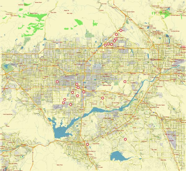
North Los Angeles, also known as the San Fernando Valley, is a region located in the northern part of Los Angeles, California, United States. It is a sprawling suburban area that is distinct from the more densely populated and urban parts of Los Angeles. Some of the neighborhoods and communities in the North Los Angeles area include:
- San Fernando: This is the city for which the valley is named, and it’s one of the oldest communities in the region.
- Burbank: Home to many entertainment industry companies, including major studios like Warner Bros. and Disney.
- Glendale: Known for its vibrant arts and culture scene, as well as shopping and dining options.
- North Hollywood: Often referred to as the “NoHo Arts District,” it has a burgeoning arts community.
- Van Nuys: This area is known for its transportation hub, with the Van Nuys Airport and Van Nuys Amtrak station.
- Sherman Oaks: A residential and commercial neighborhood with many restaurants and shops.
- Studio City: Known for its connections to the entertainment industry and the historic CBS Studio Center.
- Encino: A suburban neighborhood with parks and upscale shopping areas.
The San Fernando Valley is also famous for its role in the entertainment industry, with numerous studios and production facilities located there. Additionally, the valley is known for its Mediterranean climate, which tends to be hotter in the summer and milder in the winter compared to other parts of Los Angeles.
Please note that the boundaries and neighborhoods within the San Fernando Valley can vary depending on who you ask, as it’s a large and diverse area. It’s known for its diverse communities, cultural attractions, and a mix of residential and commercial areas.


 Author: Kirill Shrayber, Ph.D. FRGS