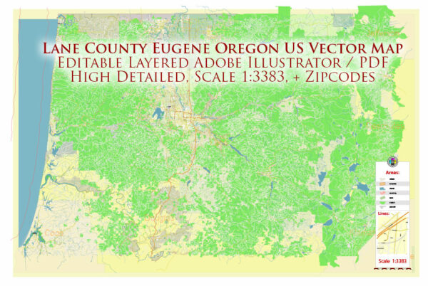
Lane County is a county located in the state of Oregon, United States. Its county seat is Eugene, which is the county’s largest city. Here is some general information about Lane County, Oregon:
- Location: Lane County is situated in western Oregon and is part of the Willamette Valley. It encompasses a diverse range of landscapes, including the Pacific coastline to the west, the Cascade Range to the east, and the Willamette Valley in between.
- Eugene: Eugene is the largest city in Lane County and serves as its county seat. It is known for its vibrant arts and culture scene, outdoor recreational opportunities, and as the home of the University of Oregon.
- University of Oregon: The University of Oregon, located in Eugene, is a prominent educational institution known for its strong athletic programs, particularly in track and field. The campus also features the famous Hayward Field, a historic track and field stadium.
- Outdoor Activities: Lane County offers a wide range of outdoor activities, including hiking, biking, rafting, and fishing. The region is known for its natural beauty, including the Willamette National Forest and the Oregon Coast.
- Cultural and Arts Scene: The county has a thriving arts and cultural community, with numerous theaters, galleries, and music venues. The Eugene Symphony and the Hult Center for the Performing Arts are among the cultural attractions in the area.
- Agriculture: Lane County is home to a variety of agricultural products, including fruits, vegetables, and wine grapes. The region’s fertile soil and temperate climate make it suitable for farming.
- Local Economy: The local economy is diverse and includes sectors such as education, healthcare, government, and technology. The presence of the University of Oregon contributes to the area’s economic stability.
- Parks and Recreation: Lane County boasts several parks and recreational areas, including Alton Baker Park, Mount Pisgah Arboretum, and Spencer Butte. These provide opportunities for outdoor enthusiasts and nature lovers.
- Willamette Valley Wine: The Willamette Valley, which includes parts of Lane County, is well-known for its wineries and vineyards. It is a renowned region for the production of Pinot Noir wines.
- Tourism: Tourism is a significant part of Lane County’s economy due to its natural beauty, outdoor activities, and cultural attractions. Visitors come to enjoy the diverse recreational opportunities and scenic landscapes.


 Author: Kirill Shrayber, Ph.D. FRGS