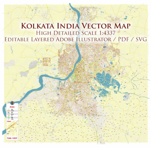
AutoCAD Map — Kolkata India
A clean AutoCAD map of Kolkata India with named layers and consistent geometry for fast cartographic work. Coordinates and scales are prepared for sheet production and consistent exports. Named layers let you restyle colors, line weights and label classes without cleanup passes. Contours and landuse layers can be toggled to match tourism or planning use cases. Bridges, tunnels and ferry lines are isolated so routes remain legible after recolor. Waterfronts and parks receive extra separation for better contrast on light palettes.
Saves prepress time by reducing manual fixes and keeping the visual system consistent. Ideal for signage, event maps, campus leaflets and waterfront brochures. Legibility holds up on handheld leaflets and large lobby posters alike. Keeps labels readable while allowing deep customization of routes and highlights. Export presets help maintain crisp strokes on both coated and uncoated paper.


 Author: Kirill Shrayber, Ph.D. FRGS