AutoCAD Map Kemerovo Russia

Карта AutoCAD — Kemerovo Russia

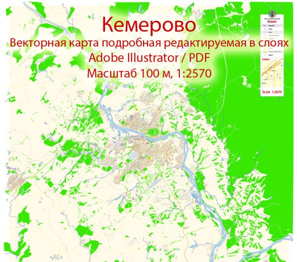
Аккуратная карта AutoCAD Kemerovo Russia: именованные слои и согласованная геометрия для быстрой работы. Чёткие векторы держат края на высоком DPI и дают компактные веб‑экспорты. Координаты и масштабы подготовлены для стабильных выгрузок и согласованных печатей. Именованные слои позволяют перекрашивать, менять толщины линий и классы подписей без чистки. Слои разделяют магистрали и локальные улицы, районы, гидрографию, парки и ориентиры. Мосты и тоннели изолированы — маршруты читаемы даже после перекраски.

Подходит для путеводителей, городских инфографик, презентаций и публичных коммуникаций. Идеален для навигации, карт событий, кампусных буклетов и прибрежных гидов. Карта аккуратно встраивается в привычные DTP‑ и GIS‑процессы. Надёжная базовая подложка, которую просто адаптировать под новый проект. Файлы остаются компактными благодаря чистой геометрии и дисциплине подписей.

Vector Maps of the Kemerovo Russia for design and printing, royalty free
Instant download archives: royalty free, editable vector maps of Kemerovo Russia in high resolution
digital PDF and Adobe Illustrator format.

All of these editable Kemerovo Russia vector maps are digital files,
which can be instantly downloaded in editable PDF or Adobe Illustrator format.
Objects on maps are usually divided into layers according to their types – lines, polygons,
street names, object names (see map description!!!!)
Each of these Kemerovo Russia digital maps is available in Adobe Illustrator or editable PDF format,
(or on request in any other known format for the same price)
which use a vector approach to display images,
you can easily enlarge any part of these maps without compromising text, line or graphic quality,
with any increase or decrease ratio.
Using a vector graphics editor such as Adobe Illustrator, CorelDraw, Inkscape, or Freehand
you can easily crop parts of the map, add custom characters, and change colors and font attributes as needed.
We have a variety of Kemerovo Russia vector maps with different levels of detail,
from simple empty paths to highly detailed maps with roads and terrain layers.

Author: Kirill Shrayber, Ph.D.

I have been working with vector cartography for over 25 years, including GPS, GIS, Adobe Illustrator and other professional cartographic software.
Linkedin: https://www.linkedin.com/in/kirill-shrayber-0b839325/
Twitter: https://twitter.com/vectormapper

Are we missing some maps? Let us know!!!
What map do you need?

    We will upload it within the next 24 hours and notify you by Email.

    Menu