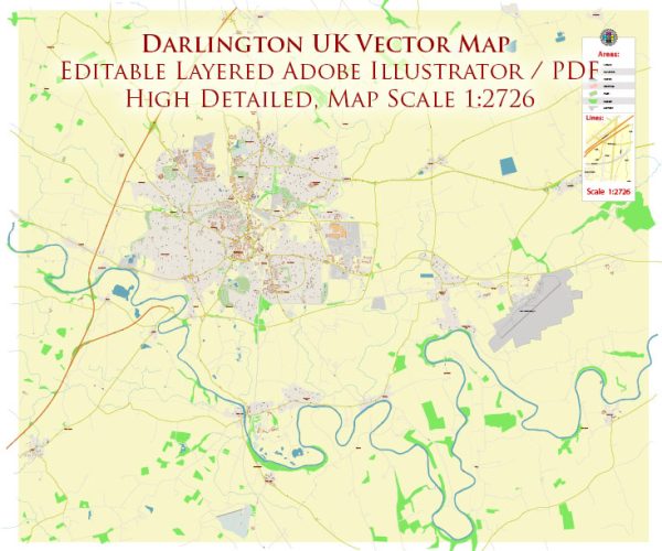
Mapas vectoriales de los Darlington UK
Archivos de descarga instantánea: mapas vectoriales editables libres de regalías de Darlington UK en alta resolución
PDF digital y formato Adobe Illustrator.
Todos estos mapas vectoriales editables Darlington UK son archivos digitales,
que se puede descargar instantáneamente en formato PDF editable o Adobe Illustrator.
Los objetos en los mapas generalmente se dividen en capas según sus tipos: líneas, polígonos,
nombres de calles, nombres de objetos (ver descripción del mapa!!!!)
Cada uno de estos mapas digitales Darlington UK está disponible en Adobe Illustrator o en formato PDF editable,
(o bajo pedido en cualquier otro formato conocido por el mismo precio)
que utilizan un enfoque vectorial para mostrar imágenes,
puede ampliar fácilmente cualquier parte de estos mapas sin comprometer la calidad del texto, las líneas o los gráficos,
con cualquier proporción de aumento o disminución.
Usar un editor de gráficos vectoriales como Adobe Illustrator, CorelDraw, Inkscape o Freehand
puede recortar fácilmente partes del mapa, agregar caracteres personalizados y cambiar colores y atributos de fuente según sea necesario.
Tenemos una variedad de mapas vectoriales Darlington UK con diferentes niveles de detalle,
desde simples caminos vacíos hasta mapas muy detallados con carreteras y capas de terreno.


 Author: Kirill Shrayber, Ph.D. FRGS