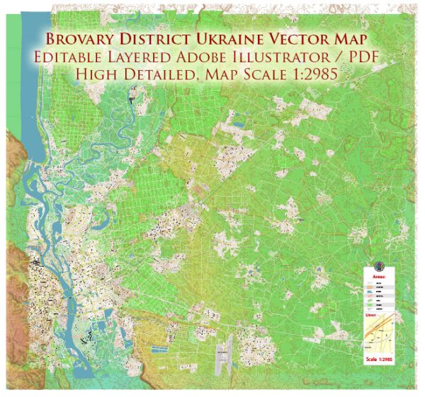
Mappe vettoriali del Brovary District Ukraine
Archivi di download istantaneo: mappe vettoriali royalty free e modificabili di Brovary District Ukraine in alta risoluzione
PDF digitale e formato Adobe Illustrator.
Tutte queste mappe vettoriali modificabili Brovary District Ukraine sono file digitali,
che può essere scaricato istantaneamente in formato PDF modificabile o Adobe Illustrator.
Gli oggetti sulle mappe sono generalmente divisi in livelli in base al loro tipo: linee, poligoni,
nomi delle strade, nomi degli oggetti (vedi descrizione della mappa!!!!)
Ognuna di queste mappe digitali Brovary District Ukraine è disponibile in Adobe Illustrator o in formato PDF modificabile,
(o su richiesta in qualsiasi altro formato noto per lo stesso prezzo)
che utilizzano un approccio vettoriale per visualizzare le immagini,
puoi ingrandire facilmente qualsiasi parte di queste mappe senza compromettere la qualità del testo, delle linee o della grafica,
con qualsiasi rapporto di aumento o diminuzione.
Utilizzando un editor di grafica vettoriale come Adobe Illustrator, CorelDraw, Inkscape o Freehand
puoi facilmente ritagliare parti della mappa, aggiungere caratteri personalizzati e modificare i colori e gli attributi dei caratteri secondo necessità.
Abbiamo una varietà di mappe vettoriali Brovary District Ukraine con diversi livelli di dettaglio,
da semplici percorsi vuoti a mappe altamente dettagliate con strade e strati del terreno.


 Author: Kirill Shrayber, Ph.D. FRGS