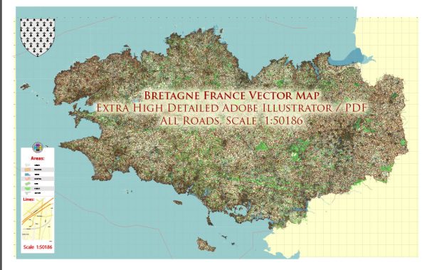
Brittany, or Bretagne in French, is a region located in the northwest of France. It is known for its rich cultural heritage, beautiful coastline, and distinctive Celtic influences. Here are some key aspects of Brittany:
- Geography: Brittany is characterized by a rugged coastline with numerous cliffs, sandy beaches, and picturesque islands. It is famous for its dramatic landscapes, including the Pink Granite Coast in the Côtes-d’Armor department.
- Culture: Brittany has a strong cultural identity, with deep Celtic roots. The Breton language, Breton music, and traditional dance (such as the famous Fest Noz) are important aspects of the regional culture.
- Cuisine: Brittany is renowned for its seafood, particularly oysters, mussels, and crêpes. Galettes, a type of savory crêpe, are a popular local specialty. The region is also famous for its cider and butter.
- History: Brittany has a complex history, with ties to both the Celtic world and France. It was an independent duchy for many centuries before being integrated into the Kingdom of France in the 16th century.
- Landmarks: Some notable landmarks in Brittany include Mont Saint-Michel, a UNESCO World Heritage Site; Saint-Malo, a historic walled city; and the medieval town of Dinan.
- Festivals: Brittany hosts various festivals and events throughout the year. The Festival Interceltique de Lorient is one of the most significant, celebrating Celtic culture with music, dance, and traditional games.
- Nature: The region offers a diverse range of natural landscapes, including forests, rivers, and the Marais Poitevin, a marshland area. It’s a great destination for outdoor enthusiasts and hikers.
- Tourism: Brittany is a popular tourist destination, attracting visitors from France and around the world. The region offers a mix of cultural experiences, historical sites, and natural beauty.
Overall, Brittany is a unique and captivating region in France, known for its distinct culture and stunning landscapes. Whether you’re interested in history, cuisine, or outdoor activities, Brittany has something to offer every traveler.


 Author: Kirill Shrayber, Ph.D. FRGS