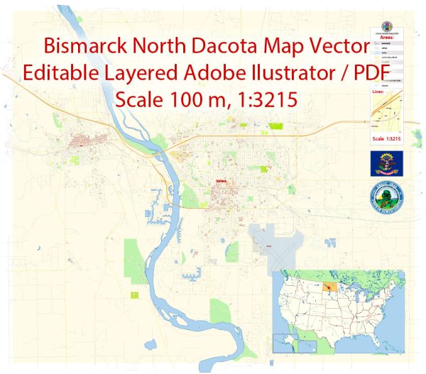
Vectorkaarten van de Bismarck North Dakota US
Instant download archieven: royaltyvrije, bewerkbare vectorkaarten van Bismarck North Dakota US in hoge resolutie
digitale PDF en Adobe Illustrator-indeling.
Al deze bewerkbare Bismarck North Dakota US vectorkaarten zijn digitale bestanden,
die direct kan worden gedownload in bewerkbare PDF- of Adobe Illustrator-indeling.
Objecten op kaarten zijn meestal verdeeld in lagen volgens hun type – lijnen, polygonen,
straatnamen, objectnamen (zie kaartbeschrijving!!!!)
Elk van deze Bismarck North Dakota US digitale kaarten is beschikbaar in Adobe Illustrator of bewerkbaar PDF-formaat,
(of op aanvraag in een ander bekend formaat voor dezelfde prijs)
die een vectorbenadering gebruiken om afbeeldingen weer te geven,
u kunt eenvoudig elk deel van deze kaarten vergroten zonder afbreuk te doen aan de tekst-, lijn- of grafische kwaliteit,
met elke verhoging of verlaging ratio.
Een vectorafbeeldingseditor gebruiken, zoals Adobe Illustrator, CorelDraw, Inkscape of Freehand
u kunt eenvoudig delen van de kaart bijsnijden, aangepaste tekens toevoegen en kleuren en lettertype-attributen naar behoefte wijzigen.
We hebben verschillende Bismarck North Dakota US vectorkaarten met verschillende detailniveaus,
van eenvoudige lege paden tot zeer gedetailleerde kaarten met wegen en terreinlagen.


 Author: Kirill Shrayber, Ph.D. FRGS