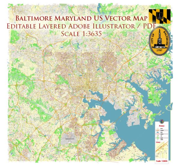
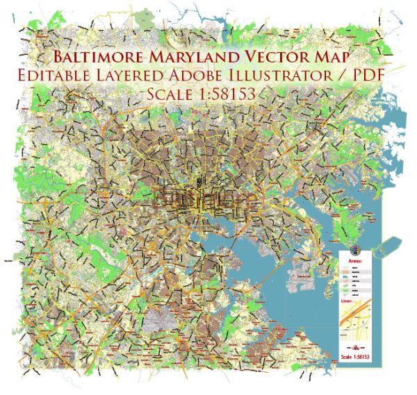
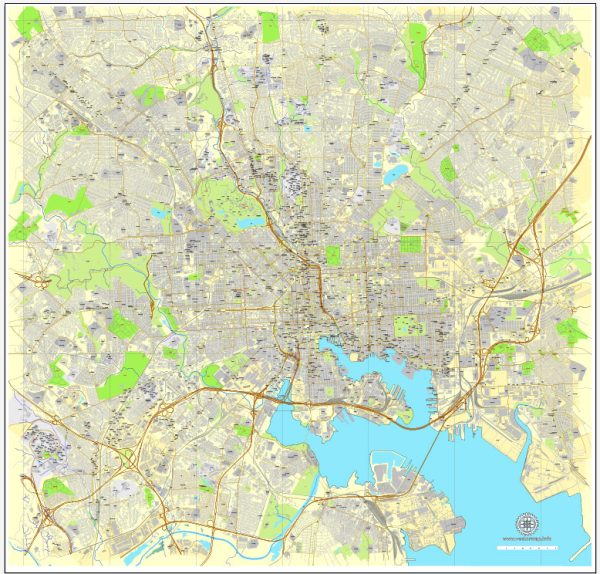
Mapas vetoriais do Baltimore Maryland US
Arquivos de download instantâneo: mapas vetoriais editáveis e isentos de royalties de Baltimore Maryland US em alta resolução
PDF digital e formato Adobe Illustrator.
Todos esses mapas vetoriais editáveis Baltimore Maryland US são arquivos digitais,
que pode ser baixado instantaneamente em formato PDF editável ou Adobe Illustrator.
Objetos em mapas geralmente são divididos em camadas de acordo com seus tipos – linhas, polígonos,
nomes de ruas, nomes de objetos (veja a descrição do mapa!!!!)
Cada um desses mapas digitais Baltimore Maryland US está disponível no Adobe Illustrator ou no formato PDF editável,
(ou a pedido em qualquer outro formato conhecido pelo mesmo preço)
que usam uma abordagem vetorial para exibir imagens,
você pode facilmente ampliar qualquer parte desses mapas sem comprometer a qualidade do texto, linha ou gráfico,
com qualquer taxa de aumento ou diminuição.
Usando um editor de gráficos vetoriais, como Adobe Illustrator, CorelDraw, Inkscape ou Freehand
você pode facilmente recortar partes do mapa, adicionar caracteres personalizados e alterar cores e atributos de fonte conforme necessário.
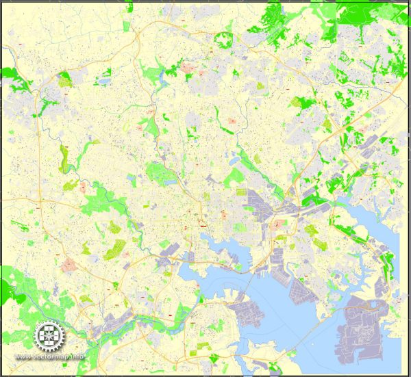
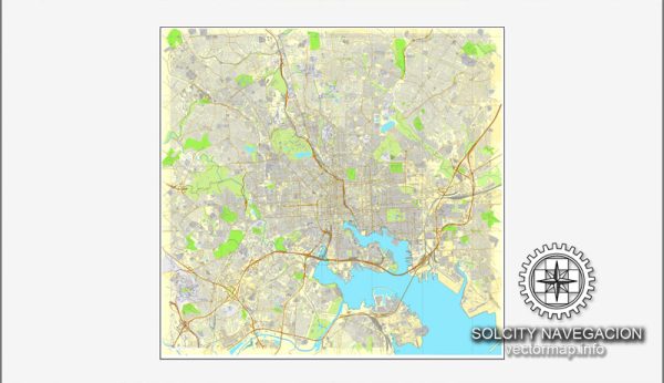
Temos uma variedade de mapas vetoriais Baltimore Maryland US com diferentes níveis de detalhamento,
de simples caminhos vazios a mapas altamente detalhados com estradas e camadas de terreno.

 Author: Kirill Shrayber, Ph.D. FRGS