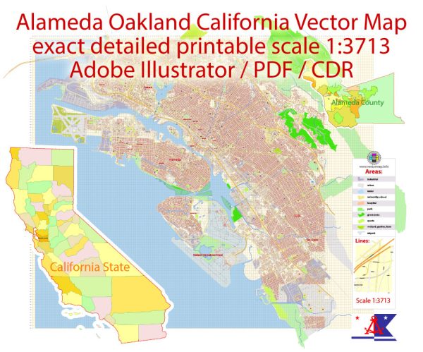
The North Alameda and Southwest Alameda watersheds drain Alameda Island, which occupies most of the city of Alameda
and is located across the Oakland Estuary from the city of Oakland. The 3.4-square-mile North Alameda
Watershed covers the majority of the island, including the urbanized area in the north and the former
Naval Air Station, now known as Alameda Point. This former Naval Station is now a mixed-use community
of wetlands, grasslands, and commercial areas. The Southwest Alameda Watershed covers 1.03 square miles
and includes the Southshore area, which is separated from the main section of the island by Alameda Lagoon.
Both Alameda Point and Southshore are filled baylands and are relatively flat. Therefore, surface water is
transported not by creeks but by a complex system of storm drains that empties into the estuary, San Leandro Bay,
and San Francisco Bay–the water bodies that surround the island and the lagoons.
Source: https://acfloodcontrol.org/the-work-we-do/resources/north-alameda-and-southwest-alameda-watersheds/


 Author: Kirill Shrayber, Ph.D. FRGS