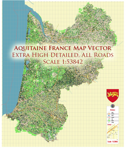
Aquitaine, also known as Nouvelle-Aquitaine since a territorial reorganization in 2016, is a historical region in the southwest of France. It is one of the country’s largest and most diverse regions, both in terms of geography and culture. Here is a geographical description of the region:
- Location: Aquitaine is situated in the southwestern part of France, bordered by the Atlantic Ocean to the west, Spain to the south, and other French regions to the east and north. It is known for its strategic location as it is a gateway to both the Iberian Peninsula and the Mediterranean.
- Coastline: The region boasts a long and picturesque coastline along the Bay of Biscay. This coastline includes sandy beaches, rugged cliffs, and historic port cities such as Bordeaux, Arcachon, and Biarritz. The Arcachon Bay is a notable feature, known for its oyster farming and beautiful landscapes.
- Rivers: Several major rivers flow through Aquitaine, including the Garonne, Dordogne, and Adour. These rivers provide fertile plains for agriculture, and their valleys are known for vineyards and winemaking. Bordeaux, the capital of the region, is located along the Garonne River and is renowned for its wine production.
- Landscapes: The geography of Aquitaine is incredibly diverse. In the north, you’ll find lush, rolling hills and agricultural plains. The region transitions into the Pyrenees Mountains in the south, providing opportunities for hiking, skiing, and outdoor activities. The Landes Forest, the largest pine forest in Europe, covers a significant portion of the region and offers unique landscapes and outdoor recreation.
- Climate: Aquitaine experiences a variety of climates due to its size and geographical diversity. The coastal areas have a temperate maritime climate with mild winters and warm summers. Inland, the climate can be more continental with more pronounced temperature variations. In the Pyrenees, you’ll find an alpine climate with colder winters and plenty of snowfall.
- Biodiversity: Aquitaine is home to a rich and diverse range of flora and fauna. The region’s natural reserves, wetlands, and forests are important for conservation efforts and support a variety of wildlife, including migratory birds, deer, wild boar, and numerous fish species in its rivers.
- Agriculture: Aquitaine has a strong agricultural sector, with vineyards, particularly in the Bordeaux wine region, being a significant contributor to the local economy. The region also produces various agricultural products, including maize, sunflower, and dairy products.
- Cities and Towns: In addition to Bordeaux, Aquitaine is home to several historic and culturally significant cities and towns, such as Pau, Bayonne, Biarritz, and Périgueux. Each of these places has its own unique charm and historical attractions.
Aquitaine’s diverse geography, rich culture, and historical significance make it a popular destination for tourists, particularly those interested in wine, outdoor activities, and exploring the unique blend of French and Basque culture found in the region.


 Author: Kirill Shrayber, Ph.D. FRGS