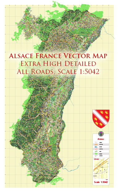
The road system in Alsace, a region in northeastern France, is well-developed and plays a crucial role in the transportation network of the area. The road infrastructure in Alsace consists of a network of highways, national roads, departmental roads, and local roads, connecting major cities and towns within the region and providing links to other parts of France and neighboring countries, such as Germany and Switzerland.
Here are some key features of the road system in Alsace:
- Autoroutes (Highways): Alsace is served by several major autoroutes (expressways) that connect it to other regions in France and neighboring countries. The A35 autoroute, for example, runs north-south through Alsace, connecting Strasbourg to Mulhouse, and it continues into Germany as the A5. The A4 autoroute runs from Strasbourg towards the west, providing access to major cities like Paris.
- National Roads: In addition to the autoroutes, Alsace has a network of national roads (Routes Nationales) that provide good connectivity between cities and towns within the region and link Alsace to the rest of France. Some of the national roads are important for both regional and international travel.
- Departmental Roads: Departmental roads (Routes Départementales) are maintained by local authorities and play a significant role in connecting smaller towns and villages within the region. These roads are typically well-maintained and provide access to many scenic areas in Alsace.
- Local Roads: Local roads are essential for reaching smaller communities and rural areas in Alsace. They offer access to vineyards, picturesque villages, and tourist attractions.
- Border Crossings: Given its location near the German border, Alsace has several border crossings that connect it to Germany. These crossings are vital for trade and travel between the two countries.
- Public Transportation: In addition to the road network, Alsace also has a well-developed public transportation system, including trams and buses, which provide an eco-friendly and efficient way to get around in the cities.
- Cycling Routes: Alsace is also known for its extensive network of cycling routes, catering to cyclists of all levels. These routes often follow scenic paths through vineyards, along canals, and through picturesque villages.
- Road Signs: Road signs in Alsace, as in the rest of France, follow standard European conventions. They are designed to help travelers navigate the region safely.
Remember that road conditions, routes, and regulations may change, so it’s always a good idea to consult up-to-date maps, navigation systems, and local traffic information when planning a trip to Alsace or any other region. Additionally, be aware of the specific driving laws and requirements in France, including speed limits, road signage, and necessary documents.


 Author: Kirill Shrayber, Ph.D. FRGS