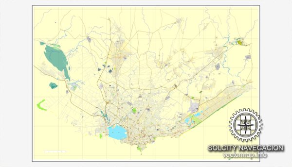
Vector Maps of the Uruguay : South American country known for its verdant interior and beach-lined coast. The capital, Montevideo, revolves around Plaza Independencia, once home to a Spanish citadel. It leads to Ciudad Vieja (Old City), with art deco buildings, colonial homes and Mercado del Puerto, an old port market with many steakhouses. La Rambla, a waterfront promenade, passes fish stalls, piers and parks.
Capital: Montevideo
Area:
• Total: 176,215 km2 (68,037 sq mi)
• Water: (%) 1.5
Download royalty free, editable vector maps of Uruguay in high resolution digital PDF and Adobe Illustrator format.
For printing LARGE (WALL) or SMALL (A4) format (please, see the preview and descriptions). DWG, DXF, CDR, ESRI Shapes and other formats, or you can’t find a map that you need – please contact us
Map Data Specification
-
Data type: Vector cartographic dataset
-
Geometry: Polylines and polygons
-
Coordinate system: WGS84 geographic coordinate system
-
Editing compatibility: Adobe Illustrator and vector graphic editors
-
Data structure: Layered map file suitable for design and print workflows


 Author: Kirill Shrayber, Ph.D. FRGS