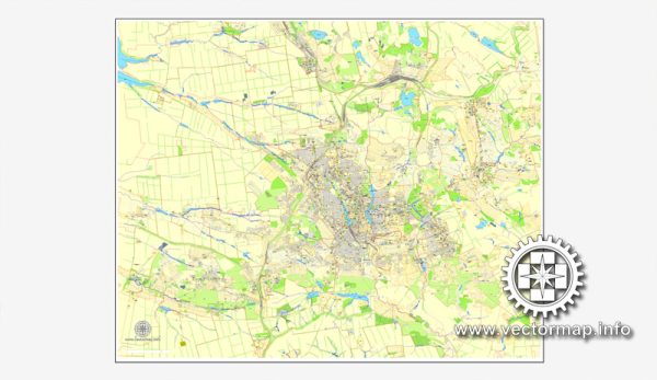
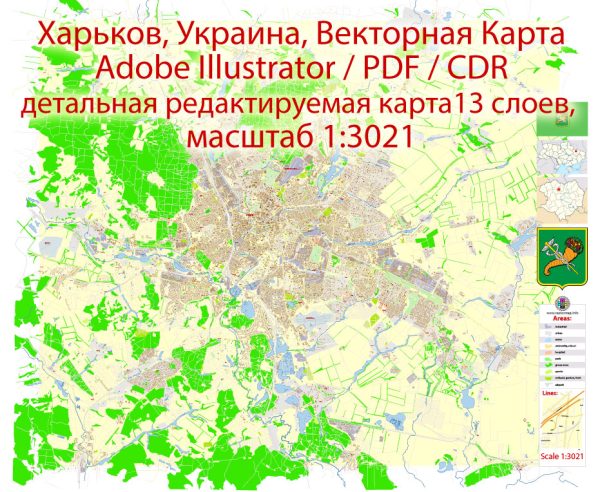
Ukraine cities vector maps: PDF and Adobe Illustrator

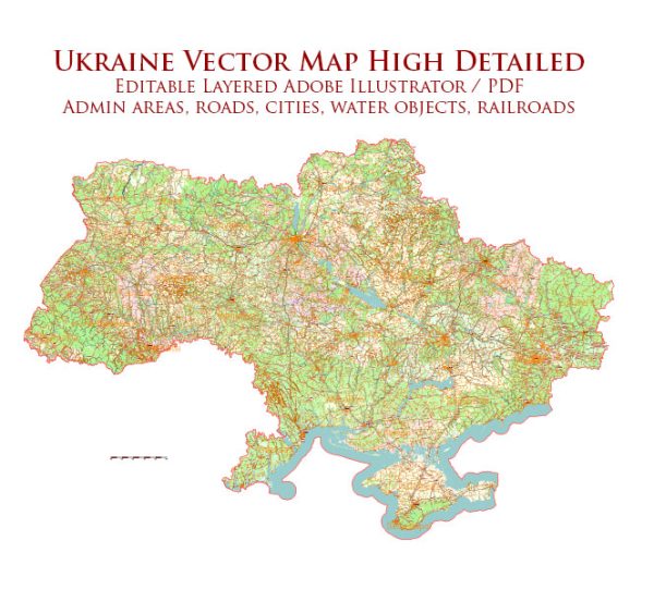
Vector Maps of the Ukraine is a country in Eastern Europe. It is the second-largest country by area in Europe after Russia, which it borders to the east and north-east.
Capital: Kyiv
Area:
• Total: 603,628 km2 (233,062 sq mi)
• Water: (%) 7
Download royalty free, editable vector maps of Ukraine in high resolution digital PDF and Adobe Illustrator format.

Ukraine full country maps – admin, roads, terrain =  2 maps >>>>>

  1. Ukraine Full Detailed Map =2 maps
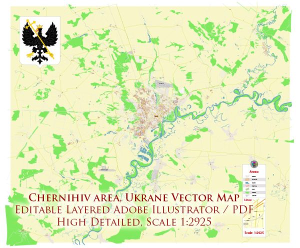
  2. Chernihiv = 2 maps
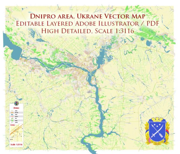
  3. Dnipro = 2 maps
  4. Donetsk = 4 maps
  5. Kharkiv = 8 maps
  6. Kherson = 2 maps
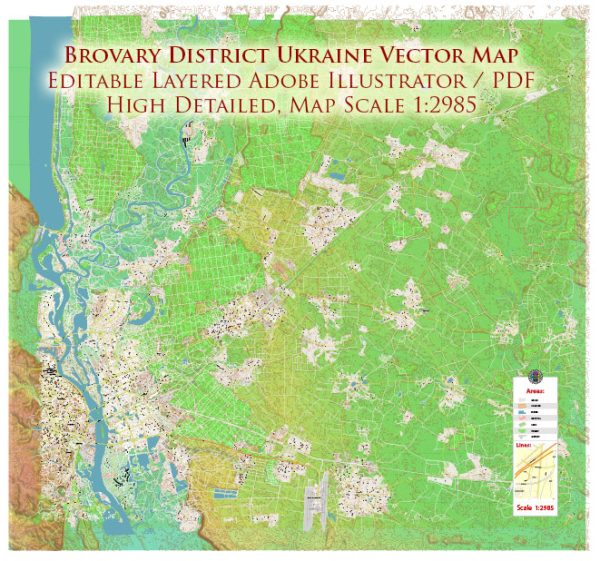
  7. Kiev = 12 maps
  8. Lviv = 8 maps
  9. Mariupol = 2 maps
  1. Mykolaiv = 2 maps
  2. Odessa = 6 maps
  3. Poltava = 2 maps
  4. Rozdilnyanskyi district Odessa Oblast = 2 maps
  5. Sevastopol = 2 maps
  6. Simferopol = 2 maps
  7. Sumy = 2 maps
  8. Vinnytsia = 2 maps
  9. Zaporizhzhia = 2 maps
Author: Kirill Shrayber, Ph.D.

I have been working with vector cartography for over 25 years, including GPS, GIS, Adobe Illustrator and other professional cartographic software.
Linkedin: https://www.linkedin.com/in/kirill-shrayber-0b839325/
Twitter: https://twitter.com/vectormapper

Are we missing some maps? Let us know!
What map do you need?

    We will upload it within the next 24 hours and notify you by Email.

    Menu