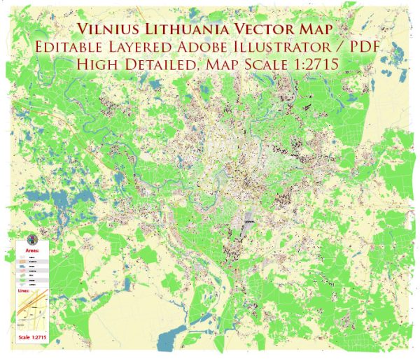
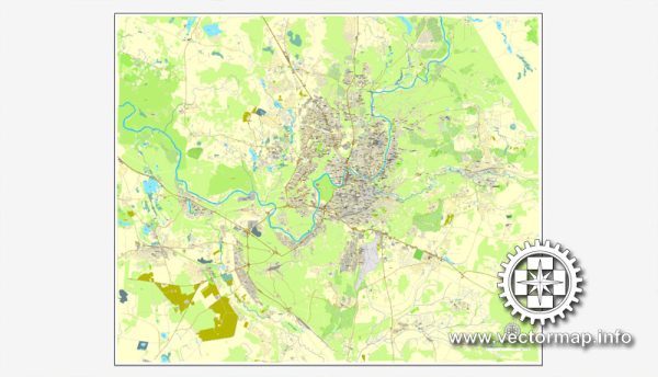
Lithuania City Maps Vector Urban Plans in the Adobe Illustrator, PDF and other vector formats Street Maps for publishing, design, printing, media, publications, arts, projects, presentations, for architects, designers and builders, business, logistics. The most exact and detailed maps.
Vector Maps of the Lithuania : officially the Republic of Lithuania, is a country in the Baltic region of Europe. It is one of three Baltic states and lies on the eastern shore of the Baltic Sea.
Capital: Vilnius
Area:
• Total: 65,300 km2 (25,200 sq mi)
• Water: (%) 1.98
Download royalty free, editable vector maps of Lithuania in high resolution digital PDF and Adobe Illustrator format.
Map Data Specification
-
Data type: Vector cartographic dataset
-
Geometry: Polylines and polygons
-
Coordinate system: WGS84 geographic coordinate system
-
Editing compatibility: Adobe Illustrator and vector graphic editors
-
Data structure: Layered map file suitable for design and print workflows


 Author: Kirill Shrayber, Ph.D. FRGS